Clayborn Temple, Memphis
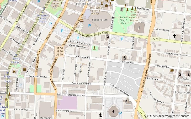
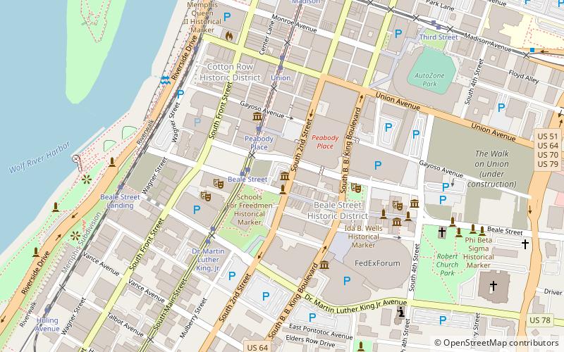
Map

Map

Facts and practical information
Clayborn Temple, formerly Second Presbyterian Church, is a historic place in Memphis, Tennessee, United States. It was listed on the National Register of Historic Places in 1979 for local architectural significance. It was upgraded to national significance under Clayborn Temple in 2017 due to its role in the events of the Sanitation Workers' Strike of 1968. The historic structure was sold to the A.M.E. Church in 1949, which named the building after their bishop. ()
Built: 1891 (135 years ago)Coordinates: 35°8'7"N, 90°3'4"W
Address
Downtown Memphis (South Forum)Memphis
ContactAdd
Social media
Add
Day trips
Clayborn Temple – popular in the area (distance from the attraction)
Nearby attractions include: FedExForum, National Civil Rights Museum, AutoZone Park, Beale Street.
Frequently Asked Questions (FAQ)
Which popular attractions are close to Clayborn Temple?
Nearby attractions include Memphis Rock 'n' Soul Museum, Memphis (8 min walk), Beale Street, Memphis (8 min walk), Beale Street Baptist Church, Memphis (8 min walk), A. Schwab's, Memphis (8 min walk).
How to get to Clayborn Temple by public transport?
The nearest stations to Clayborn Temple:
Tram
Train
Tram
- Dr. Martin Luther King, Jr. • Lines: MATA Trolley Main Street Line, MATA Trolley Riverfront Loop (10 min walk)
- Huling • Lines: MATA Trolley Main Street Line, MATA Trolley Riverfront Loop (11 min walk)
Train
- Memphis Central Station (14 min walk)


