Second Hannibal Bridge, Kansas City
Map
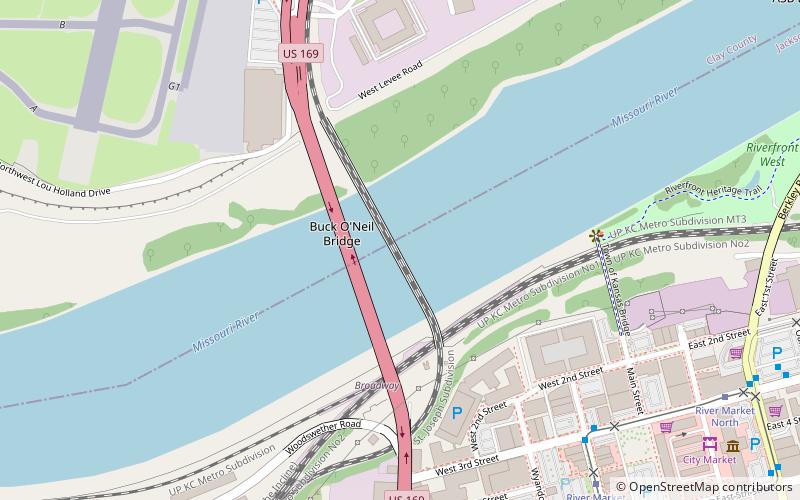
Map

Facts and practical information
The Second Hannibal Bridge is a rail bridge over the Missouri River in Kansas City, Missouri, connecting Jackson County, Missouri, with Clay County, Missouri. ()
Opened: 1917 (109 years ago)Coordinates: 39°6'46"N, 94°35'19"W
Address
Downtown Kansas City (River Market)Kansas City
ContactAdd
Social media
Add
Day trips
Second Hannibal Bridge – popular in the area (distance from the attraction)
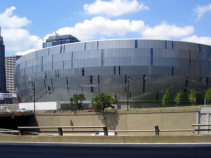
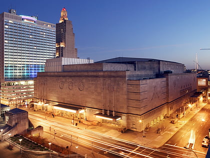
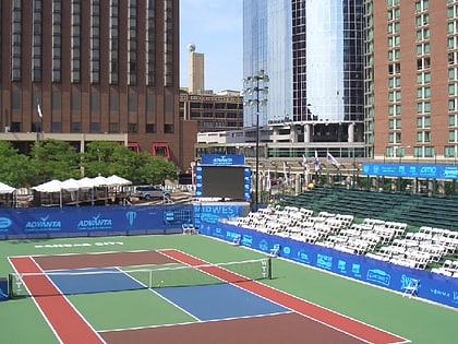
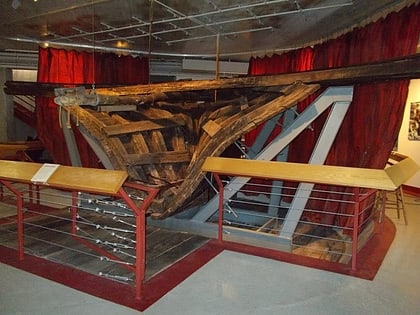
Nearby attractions include: T-Mobile Center, Municipal Auditorium, Barney Allis Plaza, Arabia Steamboat Museum.
Frequently Asked Questions (FAQ)
Which popular attractions are close to Second Hannibal Bridge?
Nearby attractions include Hannibal Bridge, Kansas City (1 min walk), Buck O'Neil Bridge, Kansas City (2 min walk), River Market, Kansas City (9 min walk), Arabia Steamboat Museum, Kansas City (12 min walk).
How to get to Second Hannibal Bridge by public transport?
The nearest stations to Second Hannibal Bridge:
Bus
Tram
Bus
- 3rd at Delaware • Lines: 55 (8 min walk)
- Wyandotte at Independence • Lines: 55 (11 min walk)
Tram
- River Market West • Lines: 601 (9 min walk)
- City Market • Lines: 601 (12 min walk)

