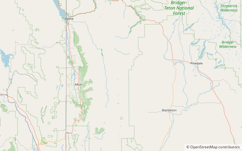
Lander Peak, Bridger–Teton National Forest

Map
Facts and practical information
In 1859 Albert Bierstadt accompanied Frederick W. Lander on a western expedition. On his return he painted a mountain landscape on a large 6-by-10-foot canvas, The Rocky Mountains, Lander's Peak. Following the death of General Lander during the Civil War in 1862, Bierstadt named the peak Lander's Peak. The painting was completed in 1863 and sold in 1865 for $25,000. ()
Coordinates: 42°47'6"N, 110°32'46"W
Address
Bridger–Teton National Forest
ContactAdd
Social media
Add
Day trips
Lander Peak – popular in the area (distance from the attraction)
Nearby attractions include: Wyoming Range.
