Wyoming Range, Bridger–Teton National Forest

Gallery (1)
Map
Map
Facts and practical information
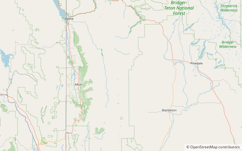
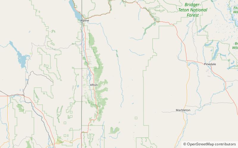
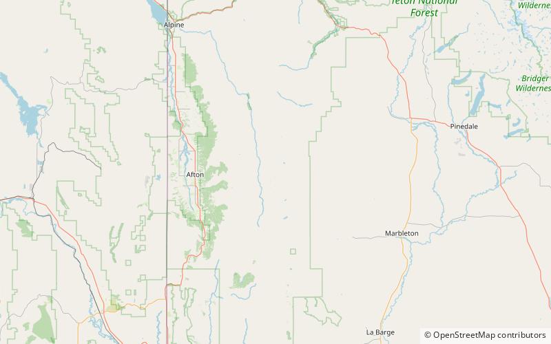
The Wyoming Range is a mountain range located in western Wyoming. It is a range of the Rocky Mountains that runs north-south near the western edge of the state. Its highest peak is Wyoming Peak, which stands at 11,383 feet above sea-level. The range is sometimes referred to as The Wyomings. ()
Address
Bridger–Teton National Forest
ContactAdd
Social media
Add
Day trips