Mount Jefferson, Beaverhead–Deerlodge National Forest
Map

Map

Facts and practical information
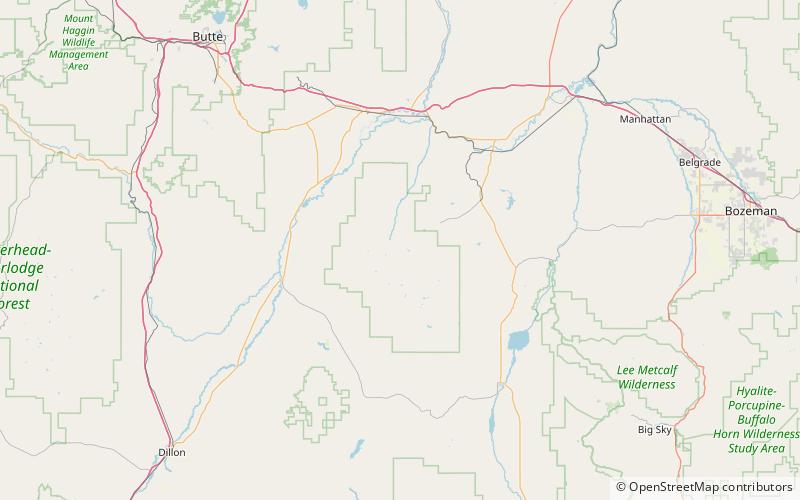
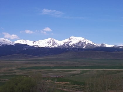
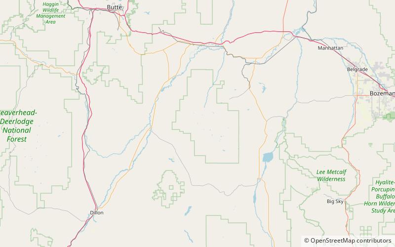
Mount Jefferson is a mountain in the U.S. state of Montana, and is one of the many 10,000+ ft peaks in the Tobacco Root Mountains. The mountain is located in Beaverhead-Deerlodge National Forest. Hollowtop Mountain is an adjacent, taller peak less than.75 miles to the north. Over the years, the two summits have had numerous names and elevations recorded on various maps. According to U.S. Geological Survey topographic maps, Mount Jefferson is 10,513 ft, while Hollowtop Mountain to the north is 10,604 ft. ()
Elevation: 10513 ftProminence: 393 ftCoordinates: 45°36'14"N, 112°0'25"W
Address
Beaverhead–Deerlodge National Forest
ContactAdd
Social media
Add
Day trips
Mount Jefferson – popular in the area (distance from the attraction)
Nearby attractions include: Noble Lake, Centennial Mountains, Tobacco Root Mountains.


