Tobacco Root Mountains, Beaverhead–Deerlodge National Forest
Map

Gallery

Facts and practical information
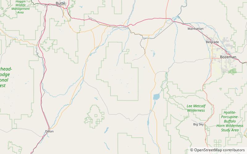
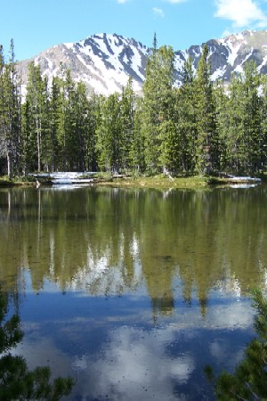
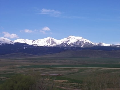
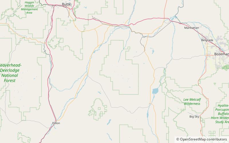
The Tobacco Root Mountains lie in the northern Rocky Mountains, between the Jefferson and Madison Rivers in southwest Montana. The highest peak is Hollowtop at 10,604 feet. The range contains 43 peaks rising to elevations greater than 10,000 feet. ()
Maximum elevation: 10604 ftCoordinates: 45°33'18"N, 111°58'30"W
Address
Beaverhead–Deerlodge National Forest
ContactAdd
Social media
Add
Day trips
Tobacco Root Mountains – popular in the area (distance from the attraction)
Nearby attractions include: Mount Jefferson, Noble Lake, Centennial Mountains.


