Mid-City, Los Angeles
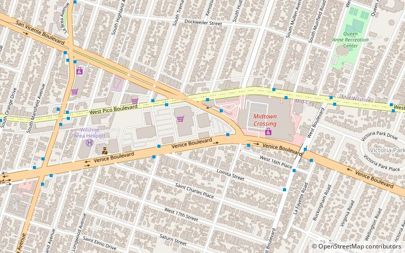
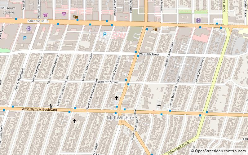
Map
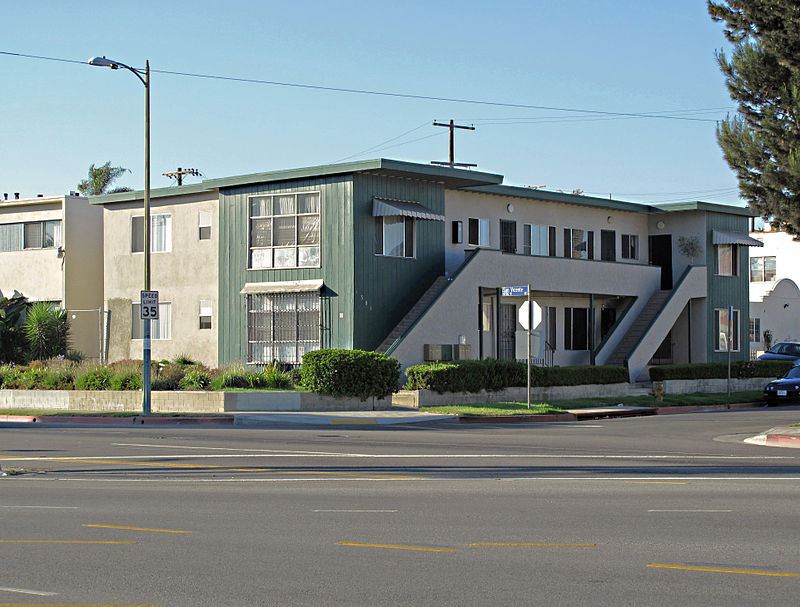
Gallery
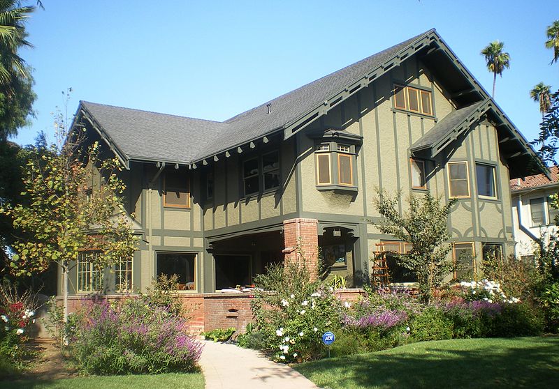
Facts and practical information
Mid-City is a neighborhood in Central Los Angeles, California. ()
Coordinates: 34°2'30"N, 118°21'18"W
Address
Central Los Angeles (Mid City)Los Angeles
ContactAdd
Social media
Add
Day trips
Mid-City – popular in the area (distance from the attraction)
Nearby attractions include: World on Wheels, Temple Beth Am, West Adams, La Brea Theatre.
Frequently Asked Questions (FAQ)
How to get to Mid-City by public transport?
The nearest stations to Mid-City:
Bus
Light rail
Bus
- Pico & Cochran • Lines: 7 (12 min walk)
- Pico & Hauser • Lines: 7, Rapid 7 (13 min walk)
Light rail
- Expo/La Brea • Lines: E (30 min walk)
- La Cienega/Jefferson • Lines: E (37 min walk)



 Metro & Regional Rail