Coal Palace, Ottumwa
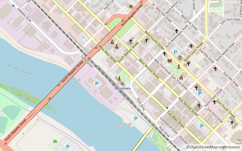
Map
Facts and practical information
The Coal Palace was a temporary exhibition center that stood in Ottumwa, Iowa from 1890 until 1892. It was used most prominently to showcase the local coal mining industry. ()
Demolished: 1892Height: 200 ftCoordinates: 41°1'8"N, 92°24'54"W
Address
Ottumwa
ContactAdd
Social media
Add
Getting there by public transportation
Public transportation stops near this location
- Train
 Train
Train
- Calculate routeOttumwa 1 min walk
Day trips


Frequently Asked Questions (FAQ)
Which popular attractions are close to Coal Palace?
Nearby attractions include Ottumwa City Hall, Ottumwa (6 min walk), Wapello County Courthouse, Ottumwa (6 min walk), St. Mary of the Visitation Catholic Church, Ottumwa (7 min walk), J.W. Garner Building, Ottumwa (7 min walk).
How to get to Coal Palace by public transport?
The nearest stations to Coal Palace:
Train
Train
- Ottumwa (1 min walk)