Ottumwa City Hall, Ottumwa
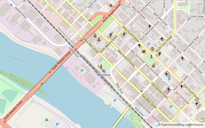
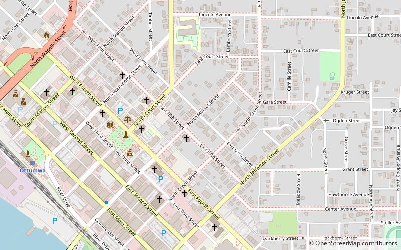
Map
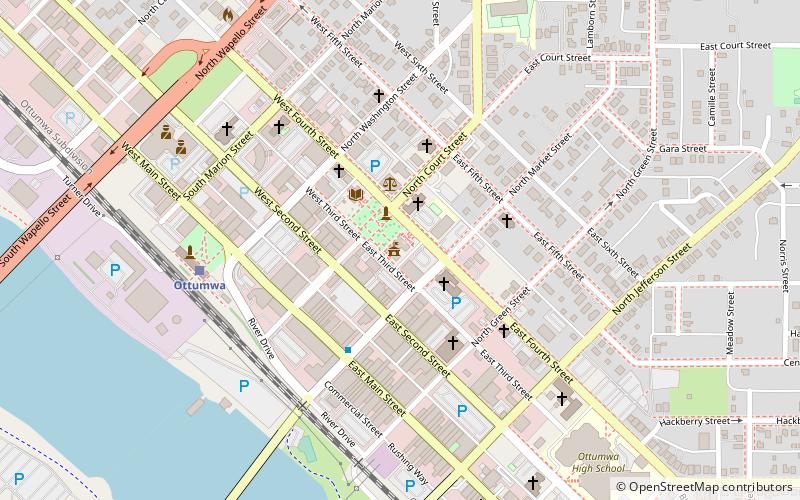
Map

Facts and practical information
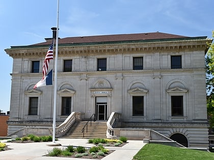
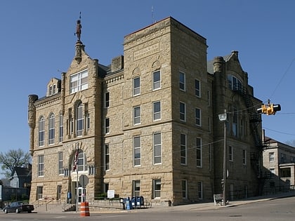
Ottumwa City Hall is the official seat of government for the city of Ottumwa, Iowa, United States. The building originally served as a post office and federal courthouse. It is part of the Central Park area, which includes: Ottumwa Public Library, Wapello County Courthouse and St. Mary of the Visitation Catholic Church. The building was listed on the National Register of Historic Places in 1976. ()
Built: 1910 (116 years ago)Architectural style: Renaissance revivalCoordinates: 41°1'8"N, 92°24'38"W
Day trips
Ottumwa City Hall – popular in the area (distance from the attraction)
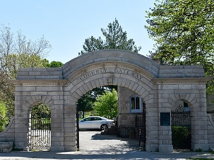
Nearby attractions include: B'nai Jacob Synagogue, Ottumwa Cemetery, Jefferson Street Viaduct, Market on Main.
Frequently Asked Questions (FAQ)
Which popular attractions are close to Ottumwa City Hall?
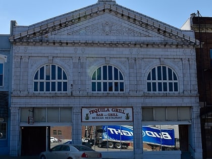
Nearby attractions include J.W. Garner Building, Ottumwa (1 min walk), St. Mary of the Visitation Catholic Church, Ottumwa (2 min walk), Wapello County Courthouse, Ottumwa (2 min walk), Benson Block, Ottumwa (3 min walk).
How to get to Ottumwa City Hall by public transport?
The nearest stations to Ottumwa City Hall:
Train
Train
- Ottumwa (6 min walk)
