Columbia Canal, Columbia
Map
Map

Facts and practical information
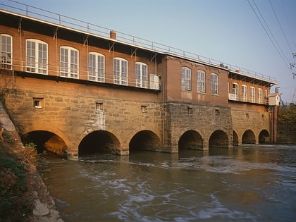
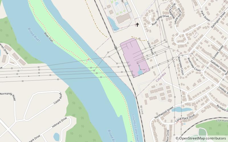
The Columbia Canal is the surviving canal of a series of canals built by the State of South Carolina in 1824 using the labor of indentured Irishmen to provide direct water routes between the upstate settlements and the towns on the Fall Line. It is on the Congaree and Broad rivers in Columbia, South Carolina. It is the focal point of the Riverfront Park in Columbia. The canal is now used to generate hydroelectric power by the South Carolina Electric & Gas Co. ()
Coordinates: 34°1'15"N, 81°3'43"W
Address
North Columbia (Earlewood)Columbia
ContactAdd
Social media
Add
Day trips
Columbia Canal – popular in the area (distance from the attraction)
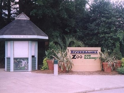
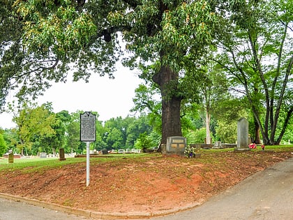
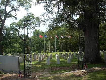
Nearby attractions include: Riverbanks Zoo, Randolph Cemetery, Elmwood Cemetery, Finlay Park.
Frequently Asked Questions (FAQ)
Which popular attractions are close to Columbia Canal?
Nearby attractions include Elmwood Cemetery, Columbia (18 min walk), Alta Vista–Camp Fornance–Newman Park Historic District, Columbia (21 min walk), Randolph Cemetery, Columbia (24 min walk).
