Columbia Island

Gallery (1)
Map
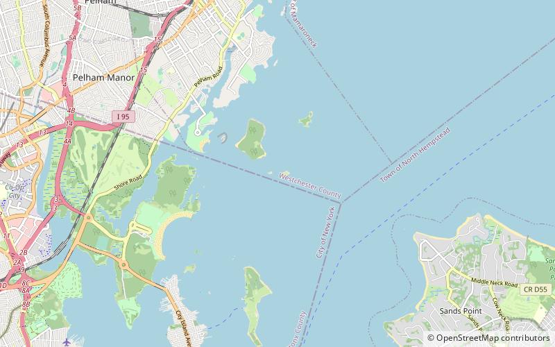
Map
Facts and practical information
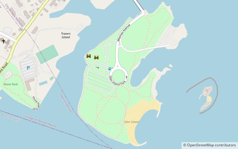
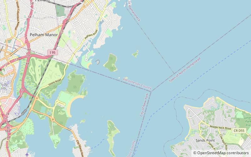
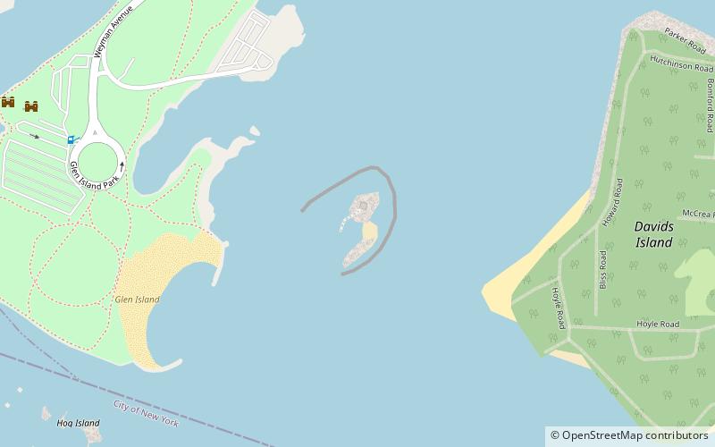
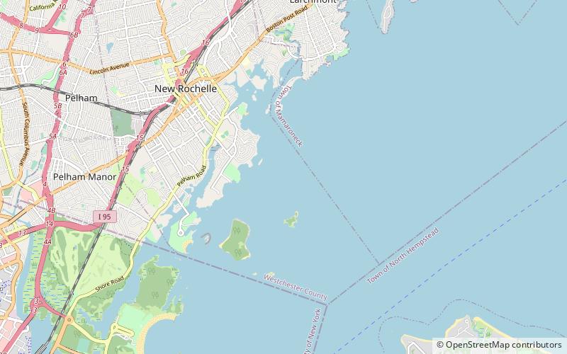
Columbia Island, is an island in the Long Island Sound and part of New Rochelle, New York. It is situated off the south-eastern coast of Davids' Island, immediately adjacent to Pea Island. The island varies in size from about one acre to 175 square feet depending on the tide. ()
Coordinates: 40°52'39"N, 73°45'51"W
Location
New York
ContactAdd
Social media
Add
Day trips