High Island, New York City
Map

Map

Facts and practical information
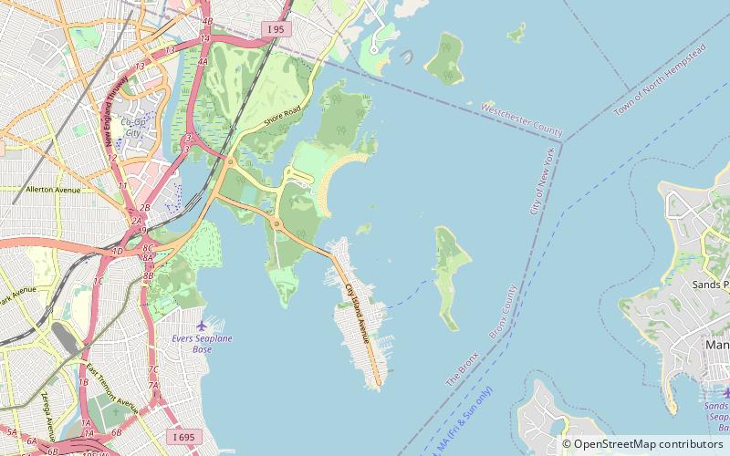
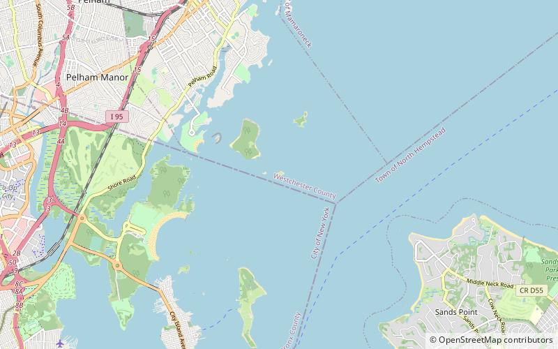
High Island is a small, uninhabited, privately-owned island, part of the Pelham Islands in the Bronx, New York City. It lies east of the north end of City Island between City Island Harbor and Pelham Bay in Long Island Sound. It is connected to City Island by a sandbar that emerges at very low tide, as well as by a small private bridge. ()
Archipelago: The Pelham IslandsCoordinates: 40°51'35"N, 73°47'8"W
Address
New York City
ContactAdd
Social media
Add
Day trips
High Island – popular in the area (distance from the attraction)
Nearby attractions include: Pelham Bay Park, Hike to the Split Rock, Pea Island, City Island.
Frequently Asked Questions (FAQ)
Which popular attractions are close to High Island?
Nearby attractions include Rat Island, New York City (11 min walk), City Island Library, New York City (22 min walk), Public School 17, New York City (22 min walk), City Island, New York City (23 min walk).

 Subway
 Manhattan Buses


