Five Points, New York City
Map

Gallery

Facts and practical information
Five Points was a 19th-century neighborhood in Lower Manhattan, New York City. The neighborhood, partly built on land which had filled in the freshwater lake known as the Collect Pond, was generally defined as being bound by Centre Street to the west, the Bowery to the east, Canal Street to the north, and Park Row to the south. The Five Points gained international notoriety as a densely populated, disease-ridden, crime-infested slum that existed for over 70 years. ()
Day trips
Five Points – popular in the area (distance from the attraction)
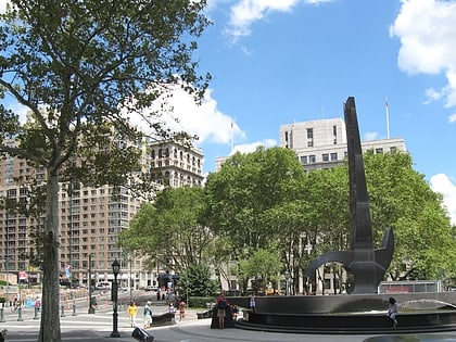
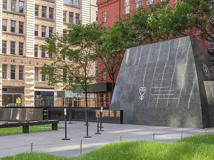
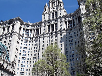
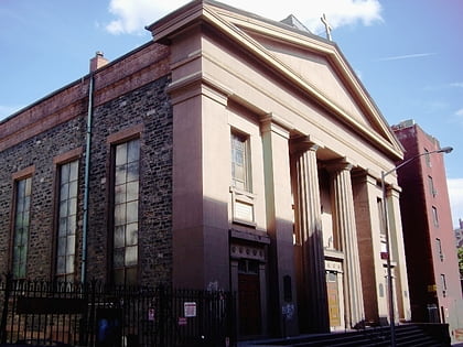
Nearby attractions include: Foley Square, African Burial Ground National Monument, Manhattan Municipal Building, St. James Roman Catholic Church.
Frequently Asked Questions (FAQ)
Which popular attractions are close to Five Points?
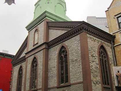
Nearby attractions include Columbus Park, New York City (1 min walk), Church of the Transfiguration, New York City (2 min walk), Museum of Chinese in America, New York City (3 min walk), Chinatown, New York City (3 min walk).
How to get to Five Points by public transport?
The nearest stations to Five Points:
Metro
Bus
Ferry
Metro
- Canal Street • Lines: J, Z (7 min walk)
- Chambers Street • Lines: J, Z (5 min walk)
Bus
- Madison Street & Catherine Street • Lines: M15, M15-Sbs (7 min walk)
- Lucky Star (7 min walk)
Ferry
- Pier 11/Wall Street Terminal (24 min walk)
- Brookfield Place / Battery Park City Ferry Terminal (24 min walk)

 Subway
 Manhattan Buses