Chatham Square, New York City
Map
Gallery
Facts and practical information
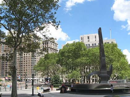
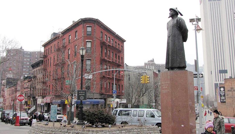
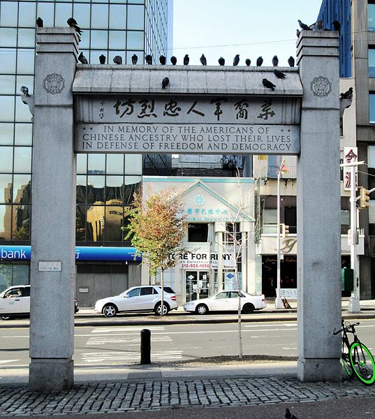
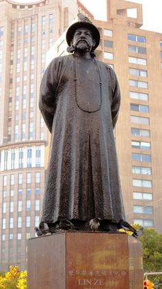
Chatham Square is a major intersection in Chinatown, Manhattan, New York City. The square lies at the confluence of eight streets: the Bowery, Doyers Street, East Broadway, St. James Place, Mott Street, Oliver Street, Worth Street and Park Row. The small park in the center of the square is known as Kimlau Square and Lin Ze Xu Square. ()
Day trips
Chatham Square – popular in the area (distance from the attraction)
Nearby attractions include: Museum at Eldridge Street, 375 Pearl Street, Coleman Playground, Foley Square.
Frequently Asked Questions (FAQ)
Which popular attractions are close to Chatham Square?
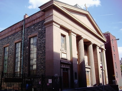
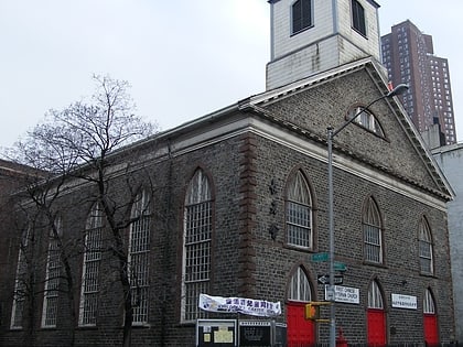
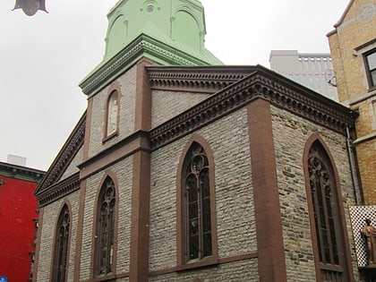
Nearby attractions include Mariner's Temple, New York City (2 min walk), Doyers Street, New York City (2 min walk), St. James Roman Catholic Church, New York City (2 min walk), Church of the Transfiguration, New York City (3 min walk).
How to get to Chatham Square by public transport?
The nearest stations to Chatham Square:
Bus
Metro
Ferry
Bus
- Madison Street & Catherine Street • Lines: M15, M15-Sbs (3 min walk)
- Madison St & Market St • Lines: M15 (5 min walk)
Metro
- Chambers Street • Lines: J, Z (9 min walk)
- Canal Street • Lines: J, Z (8 min walk)
Ferry
- Pier 11/Wall Street Terminal (22 min walk)
- Brookfield Place / Battery Park City Ferry Terminal (27 min walk)


 Subway
 Manhattan Buses
