Temple Oheb Shalom, Baltimore
Map

Map

Facts and practical information
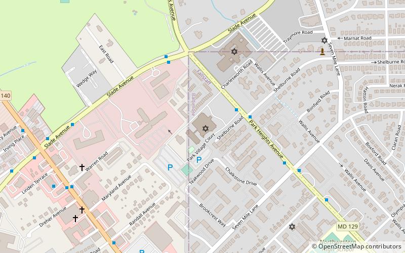
Temple Oheb Shalom is a Reform synagogue in Baltimore, Maryland. The highest point in the city is located in its parking lot. ()
Coordinates: 39°22'10"N, 76°42'39"W
Address
7310 Park Heights AveNorthwestern Baltimore (Fallstaff)Baltimore 21208
Contact
+1 410-358-0105
Social media
Add
Day trips
Temple Oheb Shalom – popular in the area (distance from the attraction)
Nearby attractions include: Congregation Tiferes Yisroel, Beth Tfiloh Congregation, Mettam Memorial Baptist Church, Reisterstown Road Plaza.
Frequently Asked Questions (FAQ)
Which popular attractions are close to Temple Oheb Shalom?
Nearby attractions include Fallstaff, Baltimore (11 min walk), Dumbarton, Pikesville (17 min walk), Mettam Memorial Baptist Church, Pikesville (19 min walk).
How to get to Temple Oheb Shalom by public transport?
The nearest stations to Temple Oheb Shalom:
Metro
Bus
Metro
- Milford Mill • Lines: M (22 min walk)
Bus
- Park Heights Avenue & Taney Road Opposite Southbound • Lines: 85, 92 (34 min walk)


