Fallstaff, Baltimore

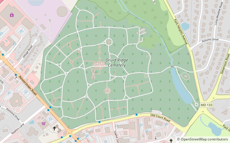
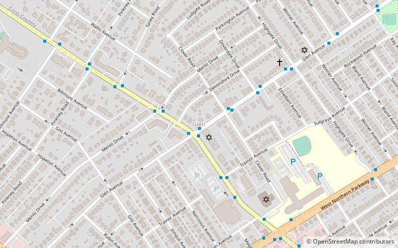
Map
Facts and practical information
Fallstaff is a neighborhood in the Upper Park Heights area of Northwest Baltimore, Maryland, and is one of the city's northwesternmost communities. The area, which is mostly middle class, is part of the center of Baltimore's Orthodox Jewish community, and also has a heavy African-American and immigrant population. ()
Coordinates: 39°21'51"N, 76°42'25"W
Address
Northwestern Baltimore (Fallstaff)Baltimore
ContactAdd
Social media
Add
Getting there by public transportation
Public transportation stops near this location
- Metro
- Bus
 Metro
Metro
- Calculate routeMilford Mill 21 min walk
- Calculate routeReisterstown Plaza 22 min walk
- Calculate routeReisterstown Plaza Station 24 min walk
- Calculate routePark Heights Avenue & Taney Road Opposite Southbound 25 min walk
Day trips


Frequently Asked Questions (FAQ)
Which popular attractions are close to Fallstaff?
Nearby attractions include Temple Oheb Shalom, Baltimore (11 min walk), Reisterstown Station, Baltimore (19 min walk), Congregation Tiferes Yisroel, Baltimore (22 min walk).
How to get to Fallstaff by public transport?
The nearest stations to Fallstaff:
Metro
Bus
Metro
- Milford Mill • Lines: M (21 min walk)
- Reisterstown Plaza • Lines: M (22 min walk)
Bus
- Reisterstown Plaza Station • Lines: 82 (24 min walk)
- Park Heights Avenue & Taney Road Opposite Southbound • Lines: 85, 92 (25 min walk)