Council Rock, Oyster Bay

Gallery (1)
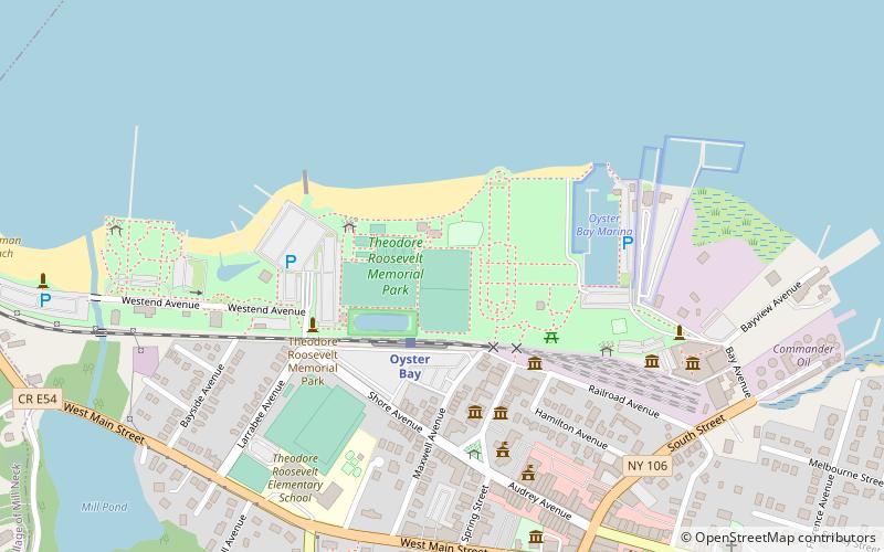
Map
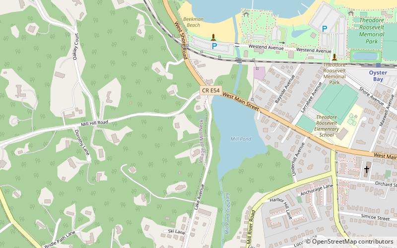
Map
Facts and practical information
Council Rock is located on Lake Avenue, a hundred yards south of West Main Street in Oyster Bay, New York. It was a Matinecock meeting ground and the location of a sacred council fire. In 1672, George Fox, the founder of the Religious Society of Friends, gave a sermon there during his visit to America. ()
Coordinates: 40°52'24"N, 73°32'30"W
Address
Mill NeckOyster Bay
ContactAdd
Social media
Add
Getting there by public transportation
Public transportation stops near this location
- Train
 Train
Train
- Calculate routeOyster Bay 11 min walk
Day trips
Council Rock – popular in the area (distance from the attraction)
Nearby attractions include: Planting Fields Arboretum State Historic Park, Theodore Roosevelt Memorial Park, St. Dominic Roman Catholic Church, Raynham Hall Museum.


Frequently Asked Questions (FAQ)
Which popular attractions are close to Council Rock?
Nearby attractions include WaterFront Center, Oyster Bay (6 min walk), Christeen, Oyster Bay (9 min walk), Wightman Memorial Baptist Church, Oyster Bay (10 min walk), Derby-Hall Bandstand, Oyster Bay (12 min walk).
How to get to Council Rock by public transport?
The nearest stations to Council Rock:
Train
Train
- Oyster Bay (11 min walk)