Oyster Bay Railroad Museum, Oyster Bay
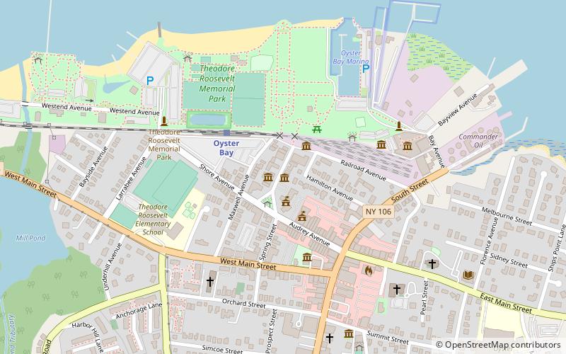
Map

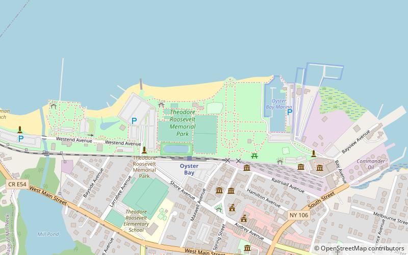
Map

Facts and practical information
Oyster Bay is the terminus on the Oyster Bay Branch of the Long Island Rail Road. The station is located off Shore Avenue between Maxwell and Larabee Avenues. It is a sheltered concrete elevated platform that stands in the shadows of the original station, which was accessible from the ends of Maxwell, Audrey, and Hamilton Avenues. Both stations exist along the south side of Roosevelt Park. ()
Coordinates: 40°52'27"N, 73°31'56"W
Day trips
Oyster Bay Railroad Museum – popular in the area (distance from the attraction)
Nearby attractions include: Theodore Roosevelt Memorial Park, St. Dominic Roman Catholic Church, Raynham Hall Museum, Earle-Wightman House.
Frequently Asked Questions (FAQ)
Which popular attractions are close to Oyster Bay Railroad Museum?
Nearby attractions include 20th Century Cycles, Oyster Bay (1 min walk), Derby-Hall Bandstand, Oyster Bay (2 min walk), Oyster Bay Bank Building, Oyster Bay (4 min walk), Raynham Hall Museum, Oyster Bay (4 min walk).
How to get to Oyster Bay Railroad Museum by public transport?
The nearest stations to Oyster Bay Railroad Museum:
Train
Train
- Oyster Bay (3 min walk)


