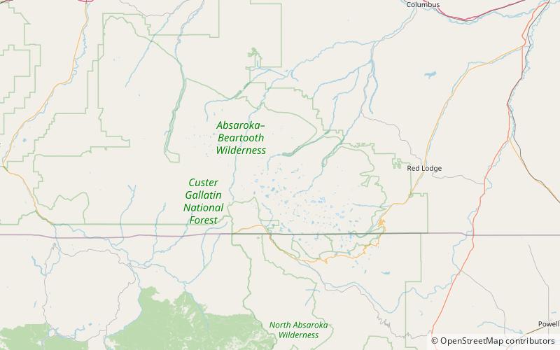
Beartooth National Forest, Absaroka–Beartooth Wilderness
Map
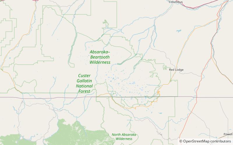
Map

Facts and practical information
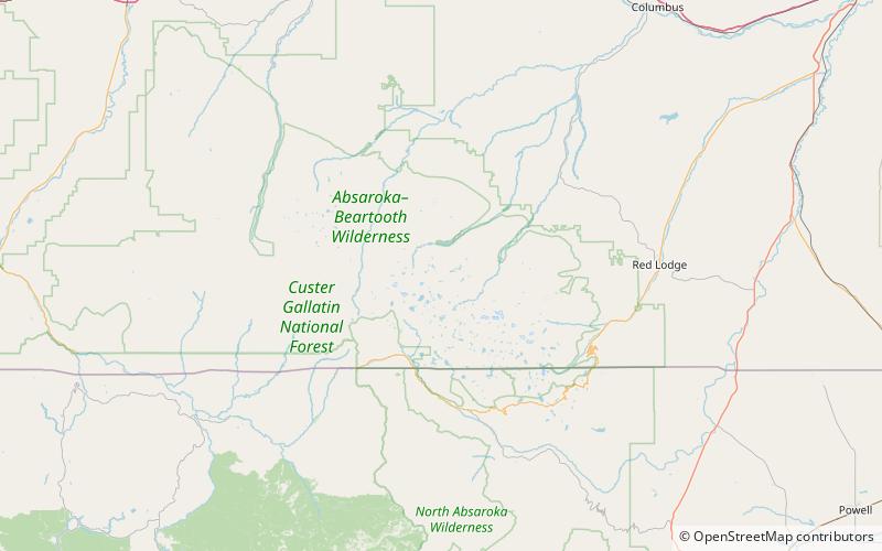
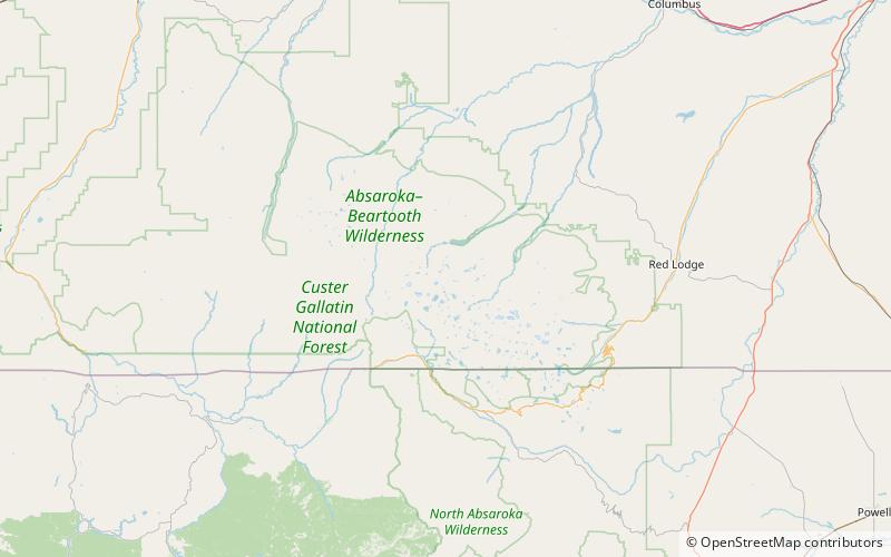
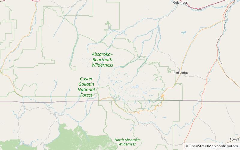
Beartooth National Forest was established in Montana on July 1, 1908 by the U.S. Forest Service with 685,293 acres from part of Yellowstone National Forest and all of Pryor Mountains National Forest. On February 17, 1932 the forest was divided between Absaroka National Forest and Custer National Forest and the name preserved as the Beartooth Ranger District of Custer National Forest. ()
Coordinates: 45°9'58"N, 109°48'40"W
Address
Absaroka–Beartooth Wilderness
ContactAdd
Social media
Add
Day trips
Beartooth National Forest – popular in the area (distance from the attraction)
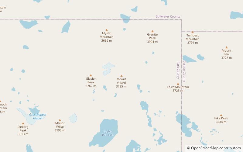
Nearby attractions include: Granite Peak, Tempest Mountain, Sky Top Glacier, Granite Glacier.
Frequently Asked Questions (FAQ)
Which popular attractions are close to Beartooth National Forest?
Nearby attractions include Granite Peak-Northwest Peak, Absaroka–Beartooth Wilderness (3 min walk), Granite Peak, Absaroka–Beartooth Wilderness (7 min walk), Beartooth Mountains, Absaroka–Beartooth Wilderness (7 min walk), Granite Glacier, Absaroka–Beartooth Wilderness (10 min walk).


