Granite Peak, Absaroka–Beartooth Wilderness
Map
Gallery
Facts and practical information
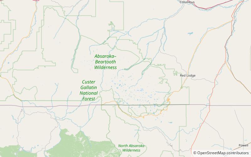
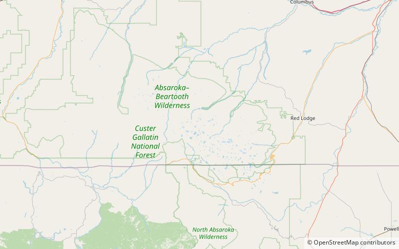
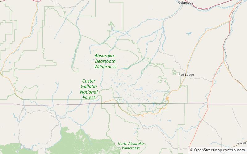
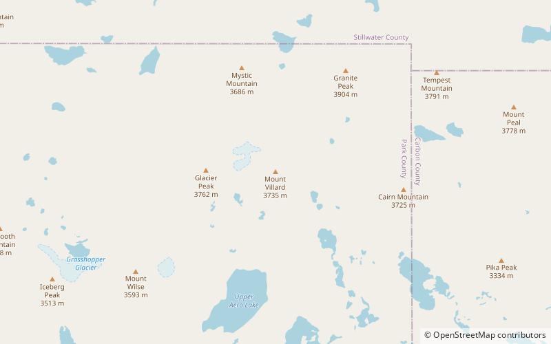
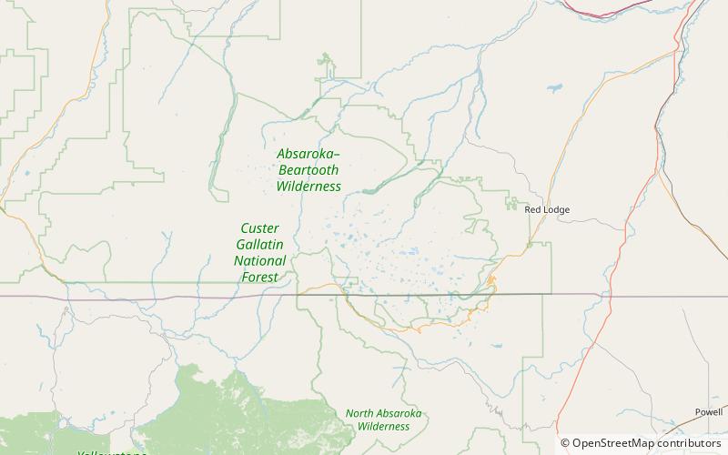
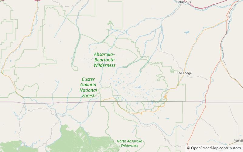
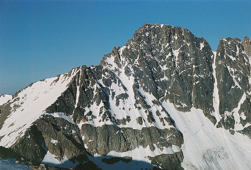
Granite Peak, at an elevation of 12,807 feet above sea level, is the highest natural point in the U.S. state of Montana, and the tenth-highest state high point in the nation. It lies within the Absaroka-Beartooth Wilderness in Park County, very near the borders of Stillwater County and Carbon County. Granite Peak is 10 miles north of the Wyoming border and 45 miles southwest of Columbus, Montana. ()
Alternative names: First ascent: 1923Elevation: 12807 ftProminence: 4759 ftCoordinates: 45°9'48"N, 109°48'29"W
Address
Absaroka–Beartooth Wilderness
ContactAdd
Social media
Add
Day trips
Granite Peak – popular in the area (distance from the attraction)
Nearby attractions include: Tempest Mountain, Sky Top Glacier, Granite Glacier, Mount Villard.
Frequently Asked Questions (FAQ)
Which popular attractions are close to Granite Peak?
Nearby attractions include Beartooth Mountains, Absaroka–Beartooth Wilderness (2 min walk), Beartooth National Forest, Absaroka–Beartooth Wilderness (7 min walk), Granite Peak-Northwest Peak, Absaroka–Beartooth Wilderness (9 min walk), Sky Top Glacier, Absaroka–Beartooth Wilderness (12 min walk).

