CRRNJ Newark Bay Bridge, Elizabeth
Map

Map

Facts and practical information
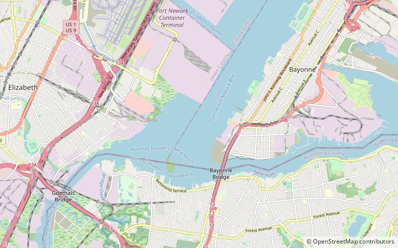
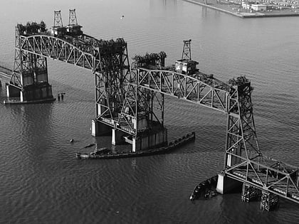
The Newark Bay Bridge of the Central Railroad of New Jersey was a railroad bridge in New Jersey that connected Elizabethport and Bayonne at the southern end of Newark Bay. Its third and final incarnation was a four-track vertical-lift design that opened in 1926, replacing a bascule bridge from 1904 which superseded the original swing bridge from 1887. The bridge served the main line of the CNJ, carrying daily interstate trains as well as commuter trains. ()
Opened: 1926 (100 years ago)Length: 2 miCoordinates: 40°39'16"N, 74°9'0"W
Address
Elizabeth
ContactAdd
Social media
Add
Day trips
CRRNJ Newark Bay Bridge – popular in the area (distance from the attraction)
Nearby attractions include: Hackensack RiverWalk, The Mills at Jersey Gardens, Bayonne Bridge, Reformed Church on Staten Island.
Frequently Asked Questions (FAQ)
Which popular attractions are close to CRRNJ Newark Bay Bridge?
Nearby attractions include Bayonne Bridge, New York City (19 min walk), Shooters Island, New York City (24 min walk).
How to get to CRRNJ Newark Bay Bridge by public transport?
The nearest stations to CRRNJ Newark Bay Bridge:
Bus
Light rail
Bus
- JFK Boulevard at 2nd Street • Lines: 10, 119 (20 min walk)
- Avenue C at 5th Street • Lines: 81 (28 min walk)
Light rail
- 8th Street • Lines: Hblr (28 min walk)


