Cudahy, Los Angeles
Map
Facts and practical information
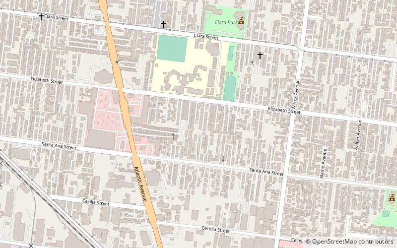
Cudahy is a city located in southeastern Los Angeles County, California. In area, Cudahy is the second smallest city in Los Angeles County after Hawaiian Gardens but with one of the highest population densities of any incorporated city in the United States. It is part of the Gateway Cities region and had a population of 23,805 as of the 2010 U.S. Census. ()
Getting there by public transportation
Public transportation stops near this location
- Bus
 Bus
Bus
- Calculate routeFirestone / Atlantic 18 min walk
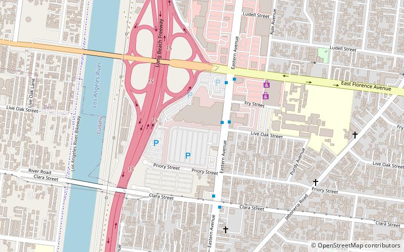
- Calculate routeEastern / Clara 26 min walk
Maps Metro & Regional Rail
Metro & Regional RailDay trips


Frequently Asked Questions (FAQ)
How to get to Cudahy by public transport?
The nearest stations to Cudahy:
Bus
Bus
- Firestone / Atlantic • Lines: 115 (18 min walk)
- Eastern / Clara • Lines: 258 (26 min walk)