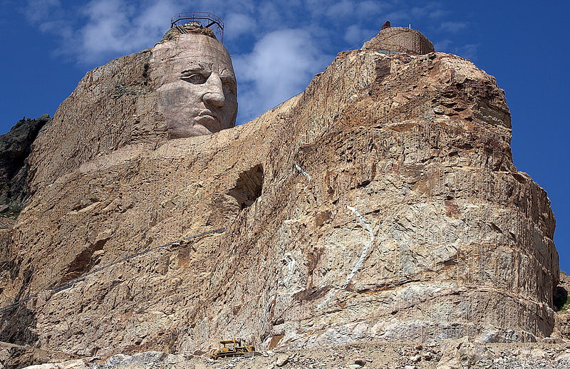
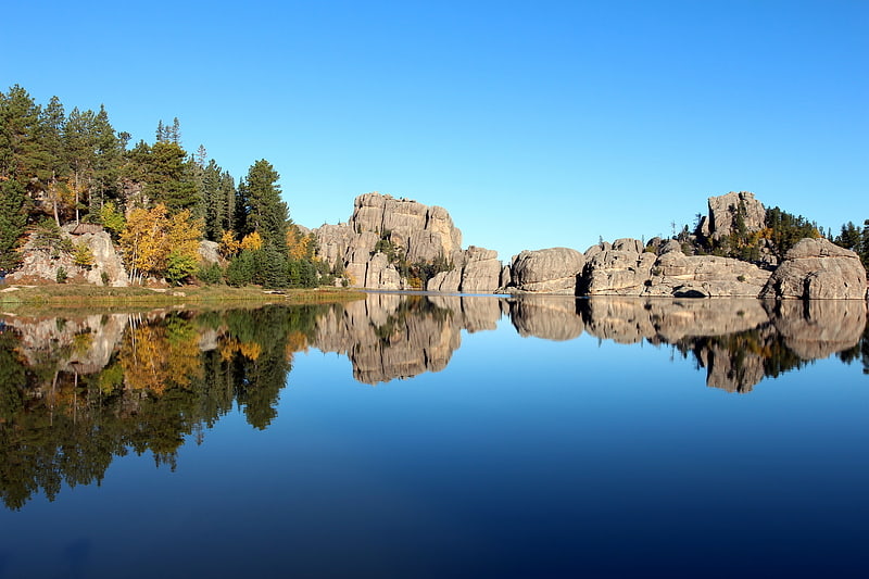
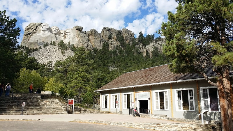
Needles, Custer
Gallery (1)
Map
Map
Facts and practical information
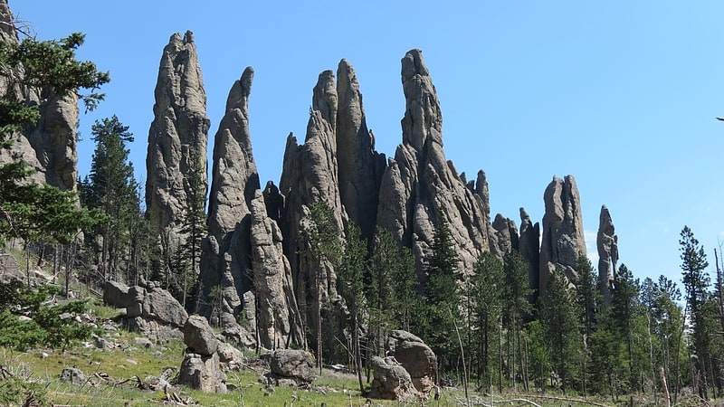
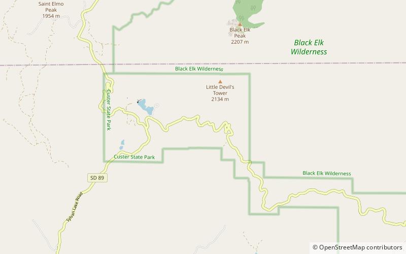
The Needles of the Black Hills of South Dakota are a region of eroded granite pillars, towers, and spires within Custer State Park. Popular with rock climbers and tourists alike, the Needles are accessed from the Needles Highway, which is a part of Sylvan Lake Road. The Cathedral Spires and Limber Pine Natural Area, a 637-acre portion of the Needles containing six ridges of pillars as well as a disjunct stand of limber pine, was designated a National Natural Landmark in 1976. ()
Elevation: 6266 ft a.s.l.Coordinates: 43°50'28"N, 103°32'38"W
Day trips