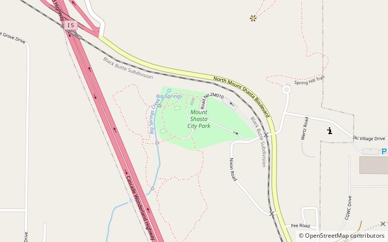
Mount Shasta City Park, Mount Shasta

Map
Facts and practical information
Mount Shasta City Park is an urban park located in the city of Mount Shasta, California. It is one of two parks within the Mt. Shasta Recreation and Parks District and hosts the district's headquarters. Mt. Shasta City Park spans 26 acres and offers a variety of opportunities for recreation such as hiking, picnicking and biking. Many community events occur within the park buildings and in the surrounding park land. The park is also home to the headwaters of the Upper Sacramento River. ()
Elevation: 3586 ft a.s.l.Coordinates: 41°19'40"N, 122°19'34"W
Day trips
Mount Shasta City Park – popular in the area (distance from the attraction)
Nearby attractions include: Mt. Shasta Sisson Museum, Snow Creek Studios, Siskiyou Land Trust.


