Hayden Island, Portland
Map

Gallery

Facts and practical information
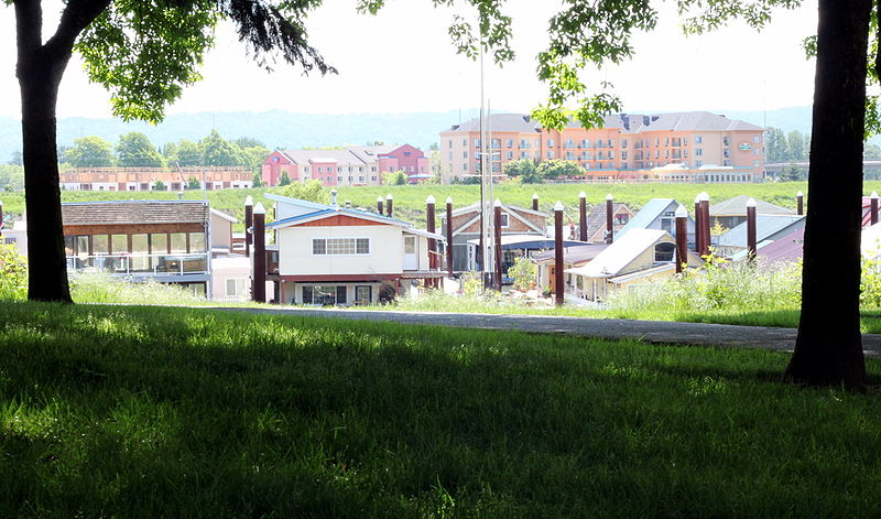
Hayden Island is an island in the Columbia River between Vancouver, Washington and Portland, Oregon. The wide main channel of the Columbia passes north of the island. To the south, sheltered by the island, is a smaller channel known as North Portland Harbor. Much of Hayden Island is within Portland city limits, and recognized as one of its 95 neighborhoods. ()
Coordinates: 45°36'43"N, 122°42'7"W
Day trips
Hayden Island – popular in the area (distance from the attraction)
Nearby attractions include: Portland Expo Center, Jantzen Beach Center, Interstate Bridge, Grant Street Pier.
Frequently Asked Questions (FAQ)
Which popular attractions are close to Hayden Island?
Nearby attractions include Oregon Slough Railroad Bridge, Portland (5 min walk), Sternwheeler Jean, Portland (17 min walk).
How to get to Hayden Island by public transport?
The nearest stations to Hayden Island:
Bus
Light rail
Train
Bus
- North Marine & Portland Road • Lines: 11 (5 min walk)
- 2600 Block North Marine Drive • Lines: 11 (10 min walk)
Light rail
- Expo Center • Lines: Yellow (24 min walk)
- Delta Park/Vanport • Lines: Yellow (35 min walk)
Train
- Vancouver (36 min walk)


