Sitgreaves National Forest, Apache–Sitgreaves National Forests

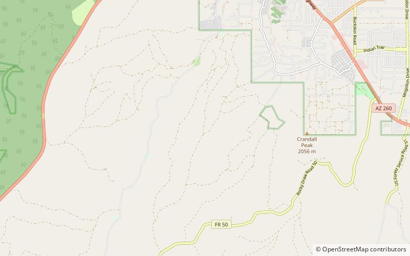
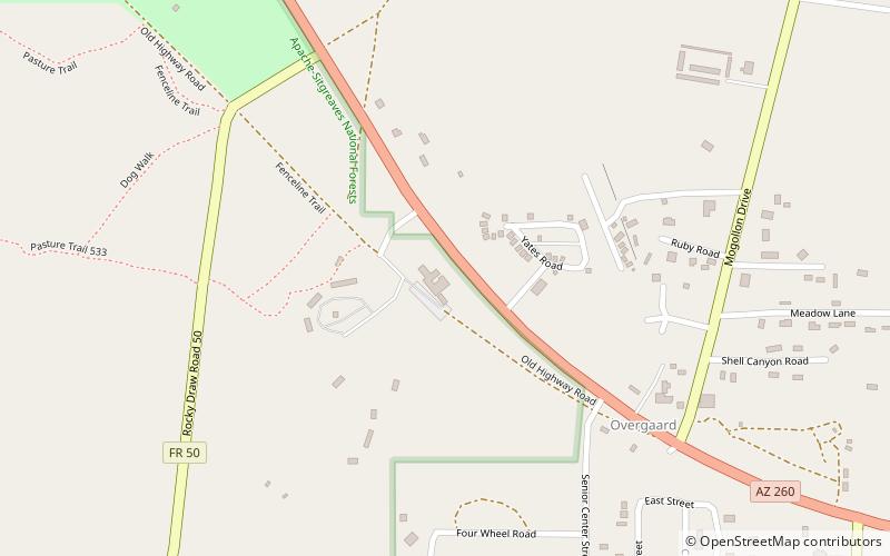
Map
Facts and practical information
Sitgreaves National Forest was established by the U.S. Forest Service in Arizona on July 1, 1908 with 749,084 acres from portions of Black Mesa and Tonto National Forests. In 1974 entire forest was administratively combined with Apache National Forest to create Apache-Sitgreaves National Forests. The Sitgreaves National Forest is located in the southern parts of Navajo, Coconino, and Apache counties. It had an area of 818,749 acres as of 30 September 2008. There are local ranger district offices in Lakeside and Overgaard. ()
Coordinates: 34°23'19"N, 110°37'1"W
Day trips
Sitgreaves National Forest – popular in the area (distance from the attraction)
Nearby attractions include: Black Canyon Lake, Heber-Overgaard, Black Mesa National Forest.


