Redland Golf & Country Club, Homestead
Map

Map

Facts and practical information
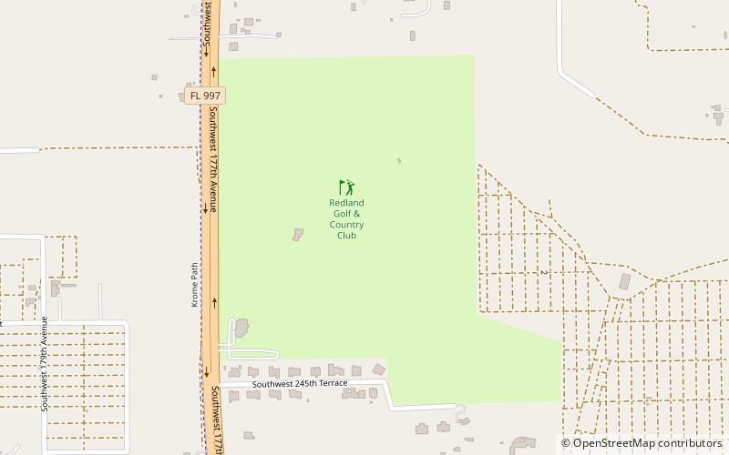
Redland Golf & Country Club (address: 24451 Krome Ave) is a place located in Homestead (Florida state) and belongs to the category of outdoor activities, golf.
It is situated at an altitude of 7 feet, and its geographical coordinates are 25°32'29"N latitude and 80°28'28"W longitude.
Among other places and attractions worth visiting in the area are: Fruit & Spice Park (garden, 33 min walk), Coral Castle (historical place, 87 min walk), Lily Lawrence Bow Library (library, 123 min walk).
Coordinates: 25°32'29"N, 80°28'28"W
Day trips
Redland Golf & Country Club – popular in the area (distance from the attraction)
Nearby attractions include: Coral Castle, Fruit & Spice Park, Homestead Town Hall, Lily Lawrence Bow Library.


