Homestead Historic Downtown District, Homestead
Map

Map

Facts and practical information
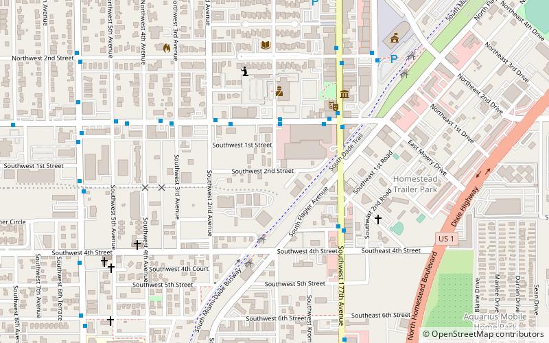
The Homestead Historic Downtown District, is a U.S. Historic District located in Homestead, Florida, United States. It is bound by Northwest 4th Street, South Railroad Avenue, Southeast 1st Road and North Krome Drive. ()
Coordinates: 25°28'6"N, 80°28'46"W
Address
Homestead (Southwest Homestead)Homestead
ContactAdd
Social media
Add
Day trips
Homestead Historic Downtown District – popular in the area (distance from the attraction)
Nearby attractions include: Coral Castle, Fruit & Spice Park, Florida Pioneer Museum, Redland Golf & Country Club.
Frequently Asked Questions (FAQ)
Which popular attractions are close to Homestead Historic Downtown District?
Nearby attractions include Homestead Town Hall, Homestead (4 min walk), Lily Lawrence Bow Library, Homestead (7 min walk), Florida Pioneer Museum, Homestead (20 min walk).
How to get to Homestead Historic Downtown District by public transport?
The nearest stations to Homestead Historic Downtown District:
Bus
Bus
- W Mowry Dr@Sw 1 Av • Lines: 35/35A (3 min walk)


