Hempstead Historic District, New London
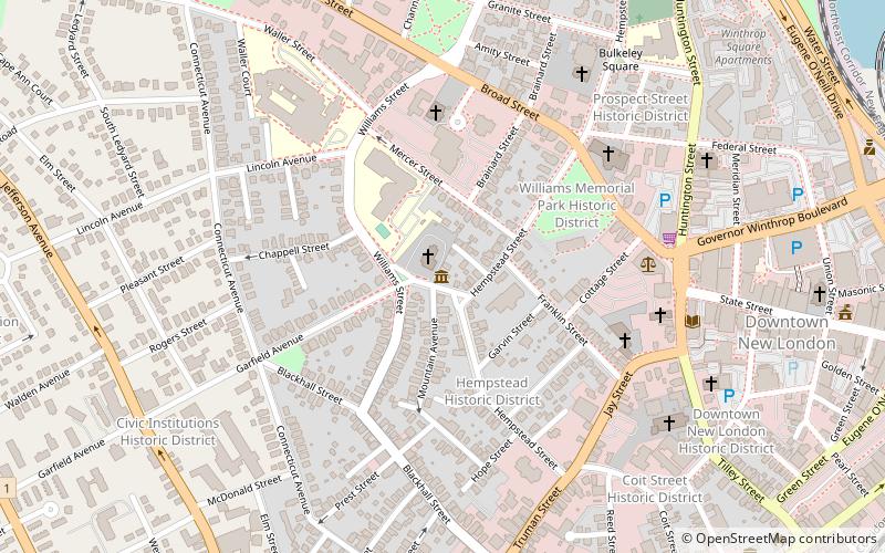
Map
Gallery
Facts and practical information
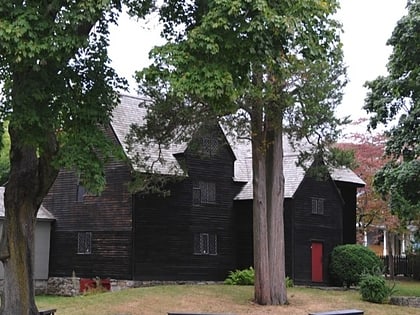
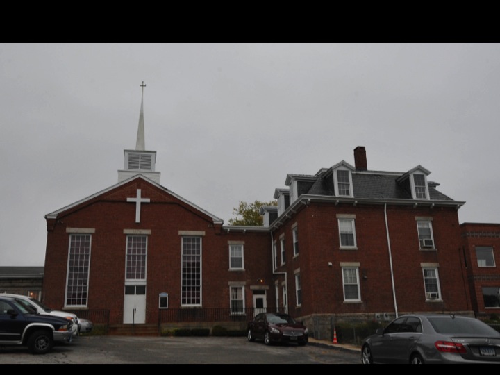
The Hempstead Historic District of New London, Connecticut encompasses a residential area north of the city's harbor and central business district, extending mainly along three roughly parallel streets: Franklin and Hempstead Streets, and Mountain Avenue. The area was settled in the 17th century, and has three centuries of architecture depicting an increasingly urban area. The district was listed on the National Register of Historic Places on July 31, 1986. ()
Architectural style: Renaissance revivalCoordinates: 41°21'19"N, 72°6'15"W
Address
11 Hempstead StWilliamsNew London
ContactAdd
Social media
Add
Day trips
Hempstead Historic District – popular in the area (distance from the attraction)
Nearby attractions include: Fort Trumbull, St. James Episcopal Church, Shaw's Cove Bridge, Custom House Maritime Museum.
Frequently Asked Questions (FAQ)
Which popular attractions are close to Hempstead Historic District?
Nearby attractions include Williams Memorial Park Historic District, New London (4 min walk), Whale Oil Row, New London (6 min walk), The Hempsted Houses, New London (6 min walk), Prospect Street Historic District, New London (7 min walk).
How to get to Hempstead Historic District by public transport?
The nearest stations to Hempstead Historic District:
Bus
Train
Ferry
Bus
- Greyhound Bus Station (15 min walk)
Train
- New London (15 min walk)
Ferry
- Cross Sound Ferry (16 min walk)


