Womble Hollow, Mark Twain National Forest

Map
Facts and practical information
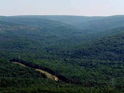
Womble Hollow is a valley in Iron County in the U.S. state of Missouri, north of Sawyer School. ()
Coordinates: 37°36'48"N, 90°46'27"W
Address
Mark Twain National Forest
ContactAdd
Social media
Add
Day trips
Womble Hollow – popular in the area (distance from the attraction)
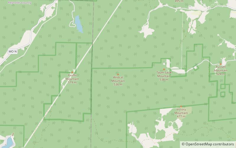
Nearby attractions include: Taum Sauk Mountain, Royal Gorge, Wildcat Mountain, Elephant Rocks State Park.


