Morris Park, New York City
Map

Gallery
Facts and practical information
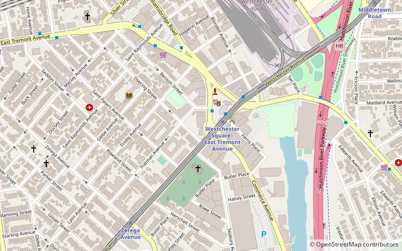
Morris Park is a neighborhood in the New York City borough of the Bronx. Its approximate boundaries, starting from the north and moving clockwise, are Neill Avenue and Pelham Parkway to the north, Eastchester Road to the East, the Amtrak Northeast Corridor tracks and Sackett Avenue to the east and south, and Bronxdale Avenue or White Plains Road to the west. It borders the neighborhoods of Van Nest to its southwest and Pelham Parkway to its northeast. Williamsbridge Road and Morris Park Avenue are the primary thoroughfares. ()
Area: 222.08 acres (0.347 mi²)Coordinates: 40°51'8"N, 73°51'13"W
Day trips
Morris Park – popular in the area (distance from the attraction)
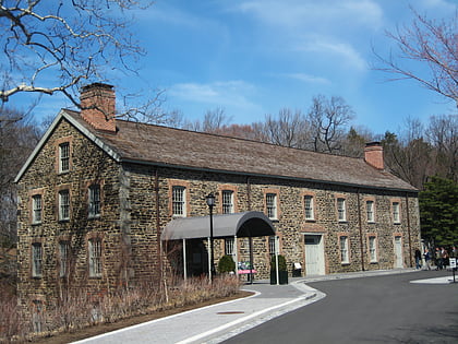
Nearby attractions include: Bronx Zoo, New York Botanical Garden, Bronx Park, Lorillard Snuff Mill.
Frequently Asked Questions (FAQ)
Which popular attractions are close to Morris Park?
Nearby attractions include St. Clare of Assisi's Church, New York City (6 min walk), St. Raymond's Church, New York City (19 min walk), Our Lady of Solace's Church, New York City (20 min walk).
How to get to Morris Park by public transport?
The nearest stations to Morris Park:
Metro
Bus
Metro
- Morris Park • Lines: 5 (10 min walk)
- Pelham Parkway • Lines: 2, 5 (21 min walk)
Bus
- East Tremont Avenue & Dogwood Drive • Lines: Bx40, Bx42 (22 min walk)
- Unionport Road & East Tremont Avenue • Lines: Bx22 (24 min walk)

 Subway
 Manhattan Buses
