East Bronx, New York City
Map

Map

Facts and practical information
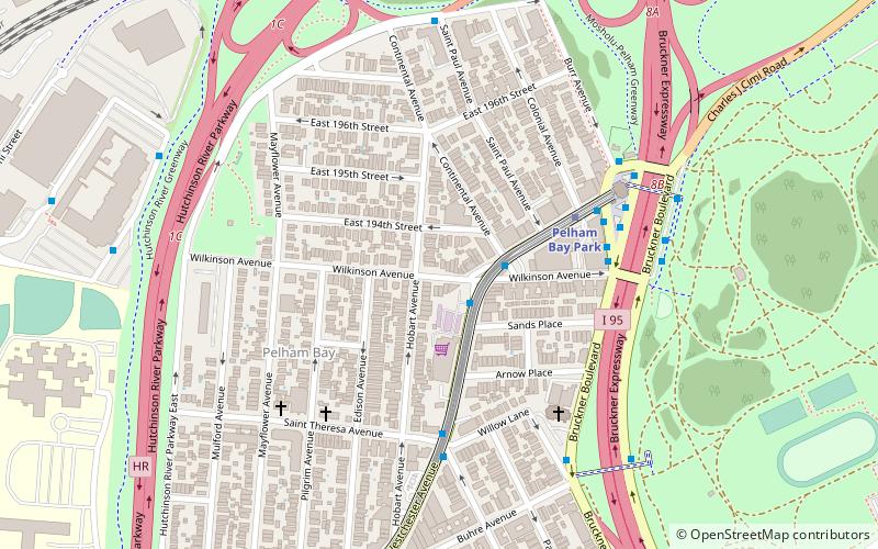
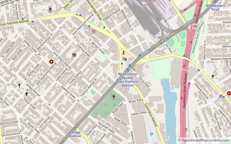
The East Bronx is the part of the New York City borough of the Bronx which lies east of the Bronx River; this roughly corresponds to the eastern half of the borough. Neighborhoods include: Baychester, Castle Hill, City Island, Co-op City, Country Club, Eastchester, Edenwald, Edgewater Park, Harding Park, Morris Park, Parkchester, Pelham Bay, Pelham Parkway, Soundview, Throggs Neck, Van Nest, Wakefield, Westchester Square, and Williamsbridge. ()
Coordinates: 40°51'6"N, 73°49'50"W
Address
East Bronx (Pelham Bay)New York City
ContactAdd
Social media
Add
Day trips
East Bronx – popular in the area (distance from the attraction)
Nearby attractions include: Pelham Bay Park, St. Raymond's Church, Huntington Free Library and Reading Room, Pelham Bridge.
Frequently Asked Questions (FAQ)
How to get to East Bronx by public transport?
The nearest stations to East Bronx:
Metro
Bus
Metro
- Pelham Bay Park • Lines: <6>, 6 (6 min walk)
- Buhre Avenue • Lines: <6>, 6 (9 min walk)
Bus
- Mall @ Bay Plaza Shopping Ctr Bus Stop • Lines: Bx5 (26 min walk)
- Lodovick Avenue & Allerton Avenue • Lines: Bx26 (26 min walk)

 Subway
 Manhattan Buses


