Champe Rocks, Monongahela National Forest

Gallery (2)
Map
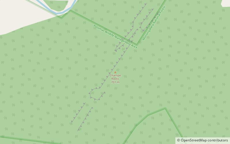
Map
Gallery
Facts and practical information
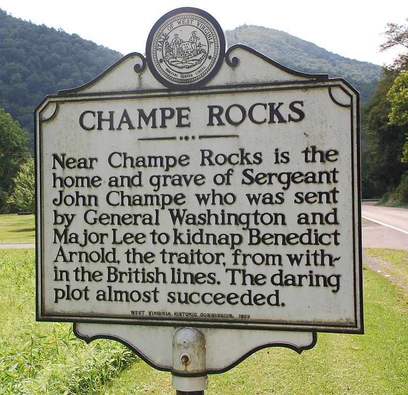
Champe Rocks are a pair of large crags in Pendleton County in the Eastern Panhandle of West Virginia, USA. Easily visible from West Virginia Route 28, they are situated within the Spruce Knob-Seneca Rocks National Recreation Area. They are — along with the nearby and more celebrated Seneca Rocks — the most imposing examples in eastern West Virginia of several formations of the white/gray Tuscarora quartzite and are a popular challenge for rock climbers. ()
Coordinates: 38°53'28"N, 79°18'43"W
Address
Monongahela National Forest
ContactAdd
Social media
Add
Day trips