Cherry Street, Philadelphia
Facts and practical information
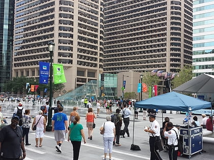
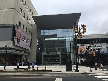
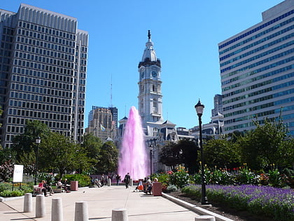
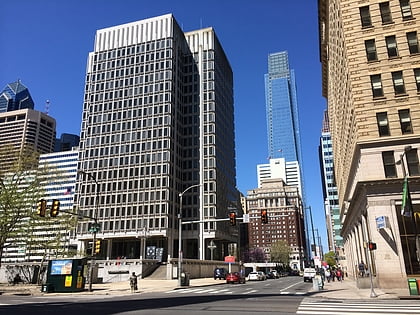
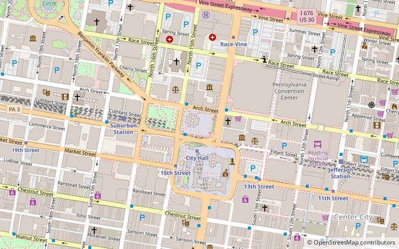
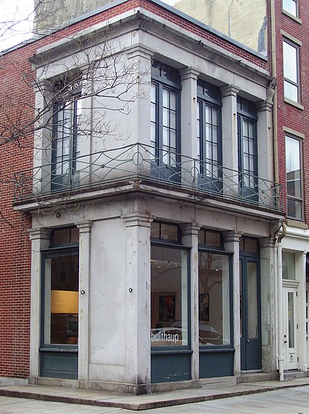
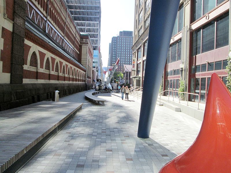
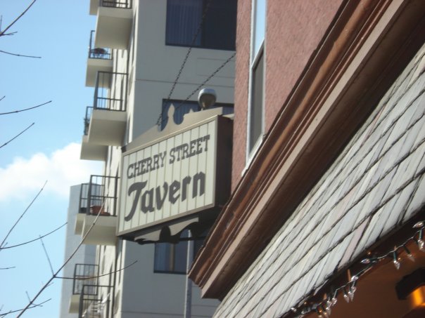
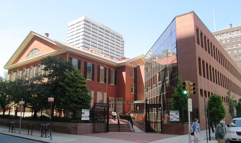
Cherry Street is a minor east-west street in Philadelphia, Pennsylvania that runs parallel to Race Street to the north and Arch Street to the south. It was not one of William Penn's original gridded streets from the 1680s, and began as an alleyway, bridging from one numbered street to the next. It is listed by name on the map in Birch's Views of Philadelphia – Race and Arch Streets are listed by their original names, "Sassafras" and "Mulberry." The earliest official use of the name Cherry Street was in 1809. ()
Center City (Avenue of the Arts South)Philadelphia
Cherry Street – popular in the area (distance from the attraction)
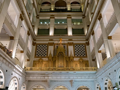
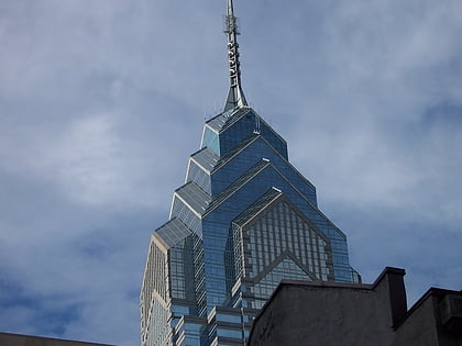
Nearby attractions include: Macy's, Reading Terminal Market, City Hall, Liberty Place.
Frequently Asked Questions (FAQ)
Which popular attractions are close to Cherry Street?
How to get to Cherry Street by public transport?
Metro
- Race-Vine • Lines: Bsl (3 min walk)
- City Hall • Lines: Bsl (5 min walk)
Tram
- 15th Street • Lines: 10, 11, 13, 34, 36 (6 min walk)
- 13th Street • Lines: 10, 11, 13, 34, 36 (6 min walk)
Train
- Suburban Station (6 min walk)
- Jefferson Station (9 min walk)
Bus
- Broad St & S Penn Sq • Lines: 27, 4 (8 min walk)
- Chestnut St & 13th St • Lines: 9 (9 min walk)



 SEPTA Regional Rail