Thomas Paine Plaza, Philadelphia
Map
Facts and practical information
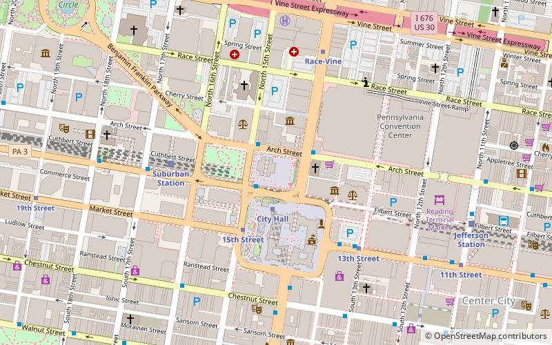
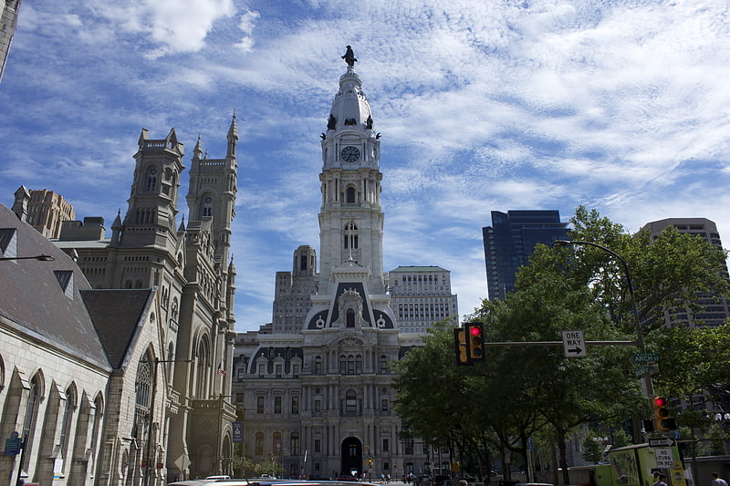
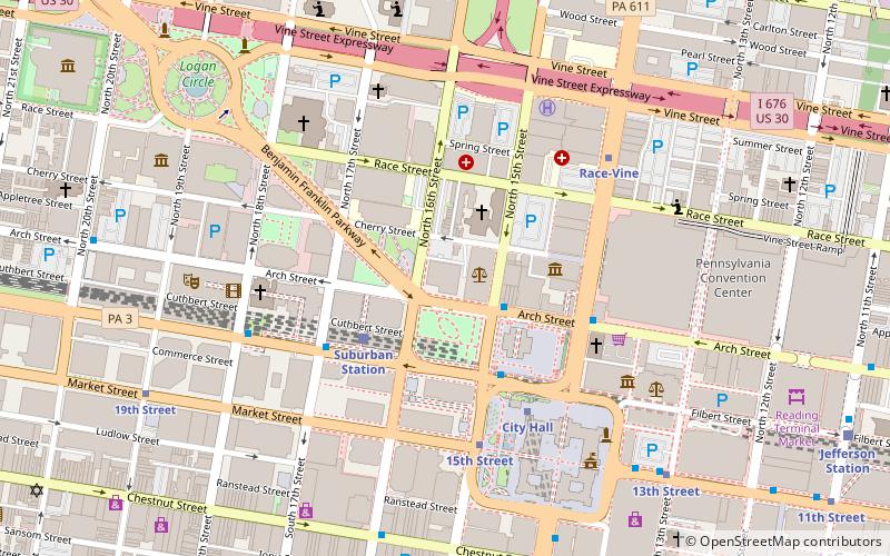
Thomas Paine Plaza is an open space park in Philadelphia, Pennsylvania, named in honor of Thomas Paine. It is the location of the city's Municipal Services Building across from Dilworth Park and City Hall. The design, by Sam Durant and Frank Rizzo, consists of a labyrinth of chain linked fences. The park was redesigned and dedicated by Mayor Michael Nutter in a ribbon cutting ceremony on October 2015. ()
Elevation: 39 ft a.s.l.Coordinates: 39°57'14"N, 75°9'51"W
Address
Center City (Avenue of the Arts South)Philadelphia
ContactAdd
Social media
Add
Getting there by public transportation
Public transportation stops near this location
- Metro
- Bus
- Tram
- Train
 Metro
Metro
- Calculate routeCity Hall 4 min walk
- Calculate route15th Street 4 min walk
- Calculate route15th Street 3 min walk
- Calculate route13th Street 5 min walk
- Calculate route19th Street 11 min walk
- Calculate route22nd Street 17 min walk
- Calculate routeSuburban Station 5 min walk
- Calculate routeJefferson Station 9 min walk
- Calculate routePhiladelphia 30th Street Station 25 min walk
- Calculate routeBroad St & S Penn Sq 5 min walk
- Calculate routeChestnut St & 13th St 7 min walk
- Calculate routeChestnut St & 12th St 9 min walk
Maps SEPTA Regional Rail
SEPTA Regional RailDay trips
Thomas Paine Plaza – popular in the area (distance from the attraction)
Nearby attractions include: Macy's, Reading Terminal Market, City Hall, Liberty Place.


Frequently Asked Questions (FAQ)
Which popular attractions are close to Thomas Paine Plaza?
Nearby attractions include Dilworth Park, Philadelphia (2 min walk), Love Park, Philadelphia (2 min walk), Masonic Temple, Philadelphia (3 min walk), Pennsylvania Academy of the Fine Arts, Philadelphia (3 min walk).
How to get to Thomas Paine Plaza by public transport?
The nearest stations to Thomas Paine Plaza:
Metro
Tram
Train
Bus
Metro
- City Hall • Lines: Bsl (4 min walk)
- 15th Street • Lines: Mfl (4 min walk)
Tram
- 15th Street • Lines: 10, 11, 13, 34, 36 (3 min walk)
- 13th Street • Lines: 10, 11, 13, 34, 36 (5 min walk)
Train
- Suburban Station (5 min walk)
- Jefferson Station (9 min walk)
Bus
- Broad St & S Penn Sq • Lines: 27, 4 (5 min walk)
- Chestnut St & 13th St • Lines: 9 (7 min walk)