John Nolen Plan of Venice Historic District, Venice
Map

Map

Facts and practical information
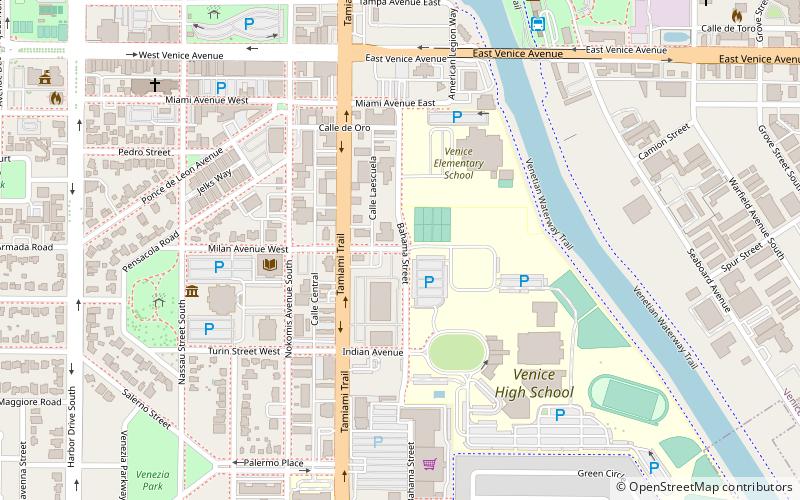
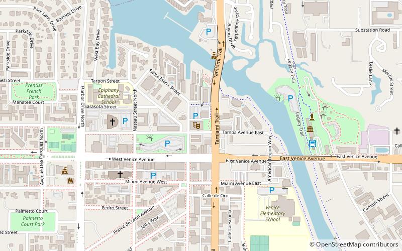
The John Nolen Plan of Venice Historic District is a U.S. historic district located on the west coast of Venice, Florida. The district, planned by John Nolen in 1926 for the Brotherhood of Locomotive Engineers, is bounded by Laguna Drive on north, Home Park Road on east, the Corso on south, and The Esplanade on west. ()
Coordinates: 27°5'46"N, 82°26'35"W
Address
Venice
ContactAdd
Social media
Add
Day trips
John Nolen Plan of Venice Historic District – popular in the area (distance from the attraction)
Nearby attractions include: Venetian Waterway Park, Venice Theatre, Epiphany Cathedral, Clyde Butcher Photography.
Frequently Asked Questions (FAQ)
Which popular attractions are close to John Nolen Plan of Venice Historic District?
Nearby attractions include Venice Theatre, Venice (10 min walk), Venezia Park Historic District, Venice (11 min walk), Clyde Butcher Photography, Venice (13 min walk), Venetian Waterway Park, Venice (13 min walk).


