Gass Peak, Desert National Wildlife Refuge
Map

Map

Facts and practical information
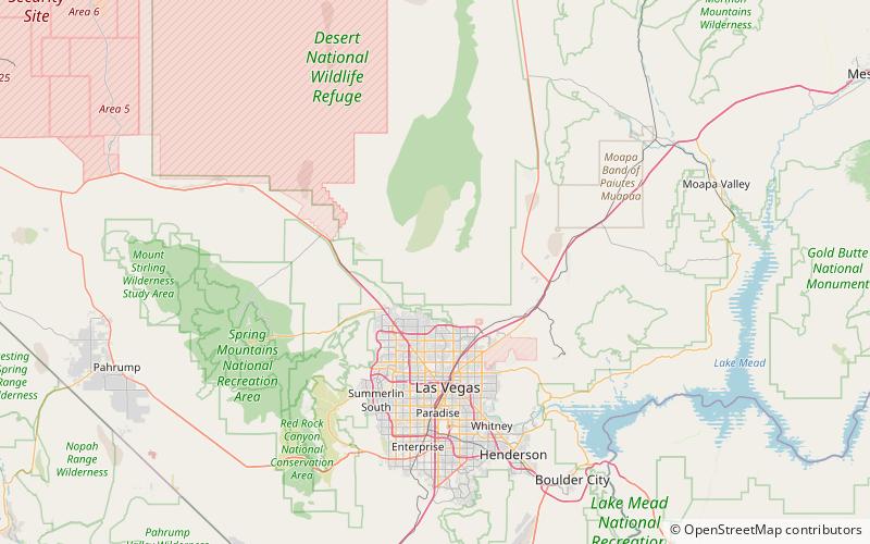
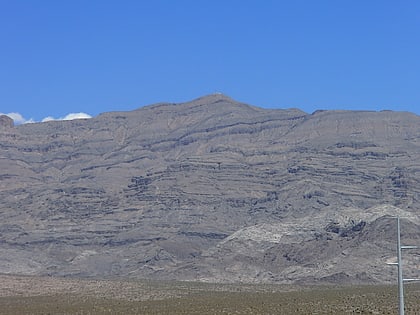
Gass Peak is the highest peak in the Las Vegas Range of Southern Nevada with a summit of 6,937 feet. It is easily seen to the north of the Las Vegas Valley, bordering the city of North Las Vegas. The peak is located about 20 miles north of Las Vegas and is within the Desert National Wildlife Refuge, administered by the U.S. Fish & Wildlife Service. ()
Elevation: 6937 ftProminence: 2043 ftCoordinates: 36°24'2"N, 115°10'48"W
Address
Desert National Wildlife Refuge
ContactAdd
Social media
Add
Day trips
Gass Peak – popular in the area (distance from the attraction)
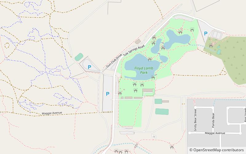
Nearby attractions include: Floyd Lamb Park at Tule Springs, Tule Springs Archaeological Site, Tule Springs Ranch.


