Norfolk Southern James River Bridge, Richmond
Map
Facts and practical information
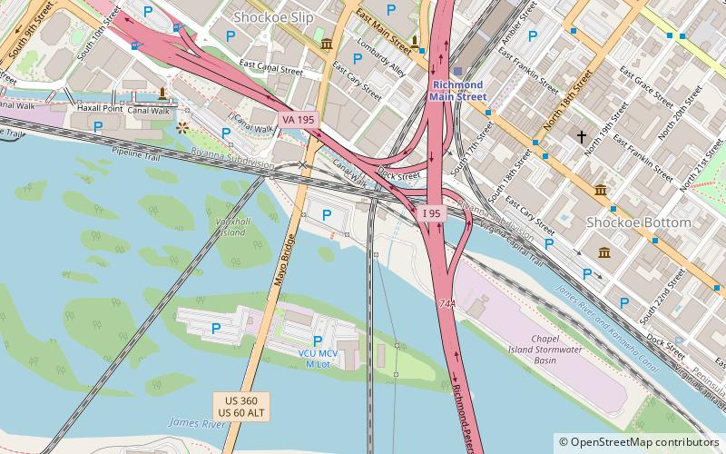
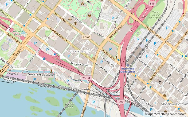
The Norfolk Southern James River Bridge is a bridge that carries Norfolk Southern Railway traffic over the James River in downtown Richmond, Virginia. The bridge was built by the Southern Railway. The bridge is over 2,000 feet long, and also spans over the western edge of Mayo Island. ()
Coordinates: 37°31'53"N, 77°25'54"W
Address
Downtown Richmond (Shockoe Slip)Richmond
ContactAdd
Social media
Add
Getting there by public transportation
Public transportation stops near this location
- Bus
- Train
 Bus
Bus
- Calculate routeRichmond Main Street 7 min walk
- Calculate routeA 19 min walk
- Calculate routeB 19 min walk
- Calculate routeC 19 min walk
- Calculate routeD 20 min walk
Day trips


Frequently Asked Questions (FAQ)
Which popular attractions are close to Norfolk Southern James River Bridge?
Nearby attractions include CSX Bellwood Subdivision James River Bridge, Richmond (1 min walk), Triple Crossing, Richmond (2 min walk), Mayo Bridge, Richmond (3 min walk), James River Bridge, Richmond (4 min walk).
How to get to Norfolk Southern James River Bridge by public transport?
The nearest stations to Norfolk Southern James River Bridge:
Train
Bus
Train
- Richmond Main Street (7 min walk)
Bus
- A • Lines: 1A, 1C (19 min walk)
- B • Lines: 1A, 1C (19 min walk)