Central Northside, Pittsburgh
Map
Gallery
Facts and practical information
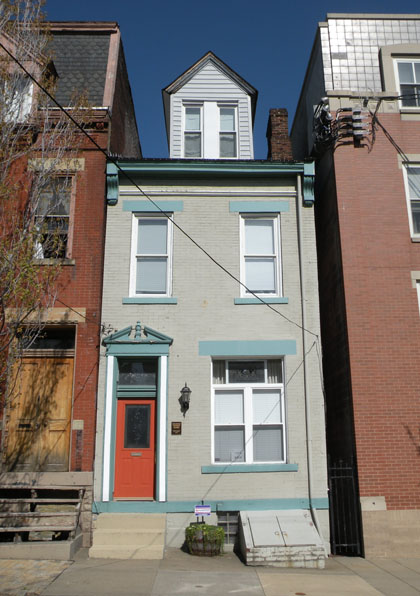
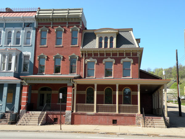
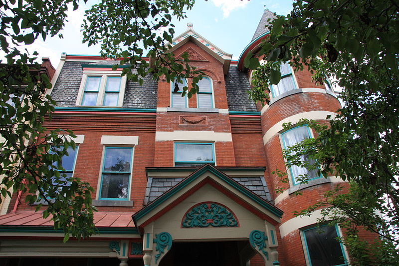
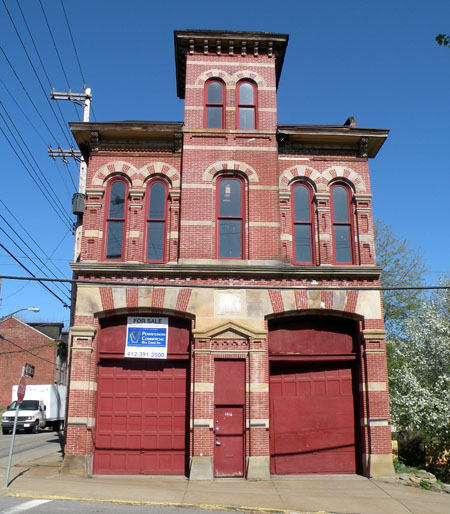
Central Northside is a neighborhood in the North Side of the city of Pittsburgh, Pennsylvania, USA. It has a zip code of 15212, and has representation on Pittsburgh City Council by the council member for District 6. Originally known as "The Buena Vista Tract", it is densely filled with restored row houses, community gardens and tree lined streets and alleyways. ()
Area: 165.76 acres (0.259 mi²)Coordinates: 40°27'25"N, 80°0'40"W
Address
North Side (Central Northside)Pittsburgh
ContactAdd
Social media
Add
Day trips
Central Northside – popular in the area (distance from the attraction)
Nearby attractions include: Heinz Field, PNC Park, Randyland, Mattress Factory.
Frequently Asked Questions (FAQ)
Which popular attractions are close to Central Northside?
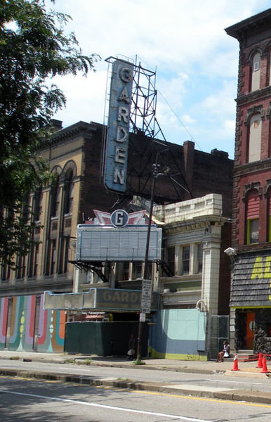
Nearby attractions include Mattress Factory, Pittsburgh (2 min walk), Randyland, Pittsburgh (3 min walk), Mexican War Streets, Pittsburgh (3 min walk), Garden Theater, Pittsburgh (6 min walk).
How to get to Central Northside by public transport?
The nearest stations to Central Northside:
Light rail
Bus
Train
Light rail
- North Side • Lines: Blue, Red, Silver (17 min walk)
- Allegheny • Lines: Blue, Red, Silver (19 min walk)
Bus
- East Ohio St at Heinz St • Lines: 1, 2 (25 min walk)
- 7th St at Ft Duquesne Blvd • Lines: 1, 2 (26 min walk)
Train
- Pittsburgh Union Station (34 min walk)


