Fort New Richmond, Baton Rouge

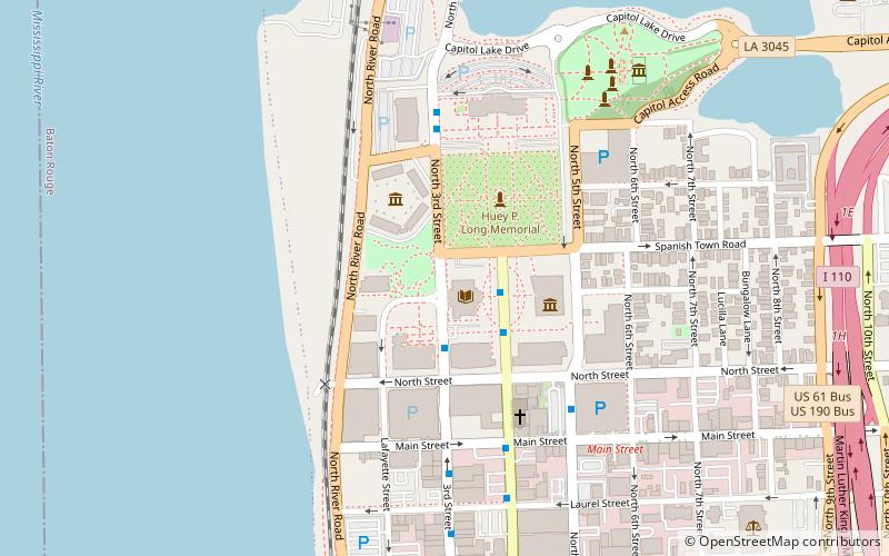
Map
Facts and practical information
Fort New Richmond was built by the British in 1779 on the east bank of the Mississippi River in what was later to become Baton Rouge, Louisiana. The Spanish took control of the fort in 1779 and renamed it Fort San Carlos. ()
Completed: 1779 (247 years ago)Coordinates: 30°27'15"N, 91°11'18"W
Address
DowntownBaton Rouge
ContactAdd
Social media
Add
Day trips
Fort New Richmond – popular in the area (distance from the attraction)
Nearby attractions include: Old State Capitol, Louisiana State Capitol, Belle of Baton Rouge, St. Joseph Cathedral.
Frequently Asked Questions (FAQ)
Which popular attractions are close to Fort New Richmond?
Nearby attractions include State Library of Louisiana, Baton Rouge (1 min walk), Pentagon Barracks, Baton Rouge (3 min walk), Capitol Park Museum, Baton Rouge (4 min walk), Louisiana State Capitol, Baton Rouge (4 min walk).
How to get to Fort New Richmond by public transport?
The nearest stations to Fort New Richmond:
Bus
Bus
- FlixBus Baton Rouge • Lines: 2210, 2211, 2221 (10 min walk)
- North Blvd Transit Hub (13 min walk)


