Fort O'Rourke, Alexandria
Map
Facts and practical information
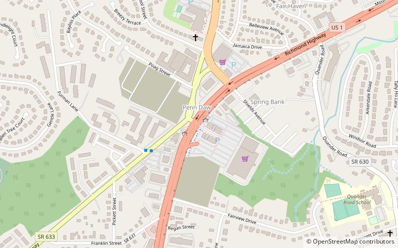
Fort O'Rourke is a former Union Army installation now located in the Belle Haven area of Fairfax County in the U.S. state of Virginia. It was the southernmost fort built to defend Washington, D.C. in the American Civil War. ()
Built: 1862 (164 years ago)Demolished: 1865Coordinates: 38°46'53"N, 77°4'43"W
Address
Belle HavenAlexandria
ContactAdd
Social media
Add
Getting there by public transportation
Public transportation stops near this location
- Metro
- Bus
 Metro
Metro
- Calculate routeB 20 min walk
- Calculate routeC 20 min walk
- Calculate routeE 21 min walk
- Calculate routeD 21 min walk
- Calculate routeHuntington 23 min walk
Day trips


Frequently Asked Questions (FAQ)
How to get to Fort O'Rourke by public transport?
The nearest stations to Fort O'Rourke:
Bus
Metro
Bus
- B • Lines: 152, 161, 162 (20 min walk)
- C • Lines: 151, 159 (20 min walk)
Metro
- Huntington • Lines: Yl (23 min walk)