Westgrove Park for Dogs, Alexandria
Map

Map

Facts and practical information
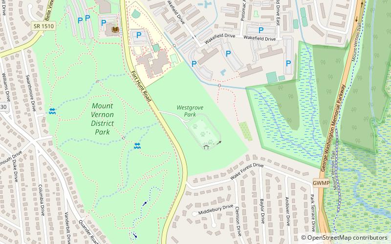
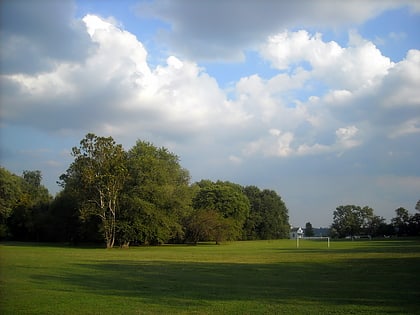
Westgrove Park for Dogs (address: 6801 Fort Hunt Rd) is a place located in Alexandria (Virginia state) and belongs to the category of relax in park, park.
It is situated at an altitude of 23 feet, and its geographical coordinates are 38°46'12"N latitude and 77°3'33"W longitude.
Among other places and attractions worth visiting in the area are: Dyke Marsh (park, 16 min walk), Fort Willard (park, 25 min walk), Fort O'Rourke (forts and castles, 34 min walk).
Elevation: 23 ft a.s.l.Coordinates: 38°46'12"N, 77°3'33"W
Day trips
Westgrove Park for Dogs – popular in the area (distance from the attraction)
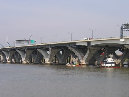
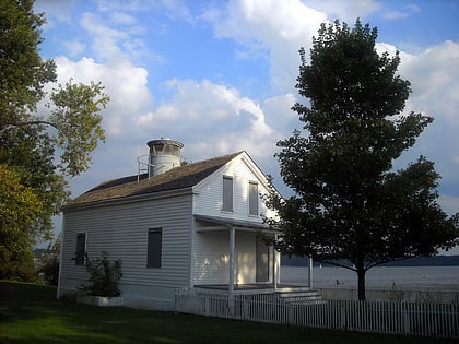
Nearby attractions include: The Capital Wheel, Woodrow Wilson Bridge, Farmers Market, Jones Point Light.


