Somers Historic District, Somers
Map

Map

Facts and practical information
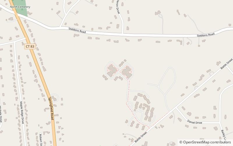
The Somers Historic District encompasses the historic civic and social center of the town of Somers, Connecticut. It stretches along Main Street, with extensions along Springfield Road and Battle Street, and includes a significant number of vernacular Federal and Greek Revival houses. It includes the town's early churches, as well as important civic buildings, including the town hall and library. The district was listed on the National Register of Historic Places in 1982. ()
Coordinates: 41°59'28"N, 72°26'34"W
Address
Somers
ContactAdd
Social media
Add
Day trips
Somers Historic District – popular in the area (distance from the attraction)
Nearby attractions include: East Longmeadow, Melrose Road Bridge.


