Mount Washington, Pittsburgh
Map

Gallery

Facts and practical information
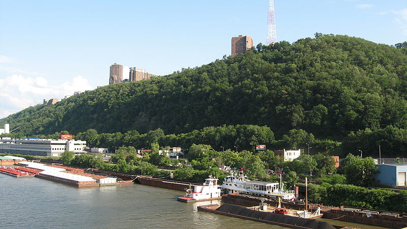
Mount Washington is a hill in Pittsburgh, on the southern banks of the Monongahela River and Ohio River. ()
Coordinates: 40°25'36"N, 80°0'39"W
Day trips
Mount Washington – popular in the area (distance from the attraction)
Nearby attractions include: Highmark Stadium, Fort Pitt Bridge, Warner Centre, Smithfield Street Bridge.
Frequently Asked Questions (FAQ)
Which popular attractions are close to Mount Washington?
Nearby attractions include Prospect Middle School, Pittsburgh (4 min walk), Pittsburgh and Castle Shannon Tunnel, Pittsburgh (8 min walk), Wabash Tunnel, Pittsburgh (9 min walk), Chatham Village, Pittsburgh (11 min walk).
How to get to Mount Washington by public transport?
The nearest stations to Mount Washington:
Bus
Light rail
Bus
- Virginia Ave at Shop n Save • Lines: 40 (7 min walk)
- South Hills Junction • Lines: 40, 43 (12 min walk)
Light rail
- South Hills Junction • Lines: Blue, Red, Silver (12 min walk)
- Station Square • Lines: Blue, Red, Silver (14 min walk)


