Liberty Bridge, Pittsburgh
Map

Gallery

Facts and practical information
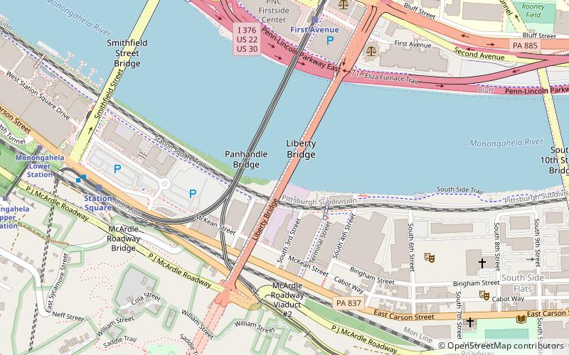
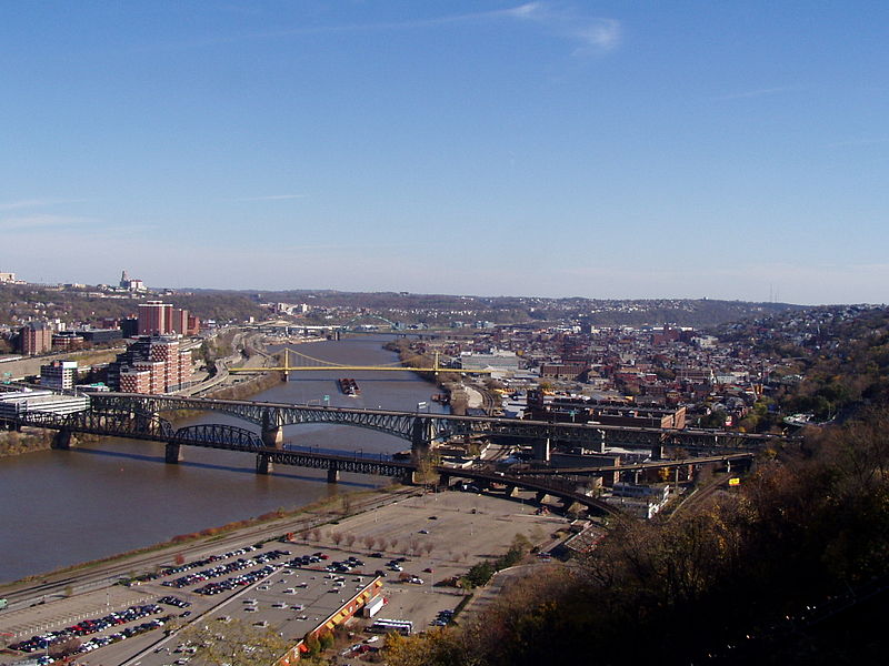
The Liberty Bridge, completed in 1928, connects downtown Pittsburgh, Pennsylvania, to the Liberty Tunnels and the South Hills neighborhoods beyond. It crosses the Monongahela River and intersects Interstate 579 at its northern terminus. ()
Opened: 1928 (98 years ago)Length: 2663 ftCoordinates: 40°25'54"N, 79°59'51"W
Day trips
Liberty Bridge – popular in the area (distance from the attraction)
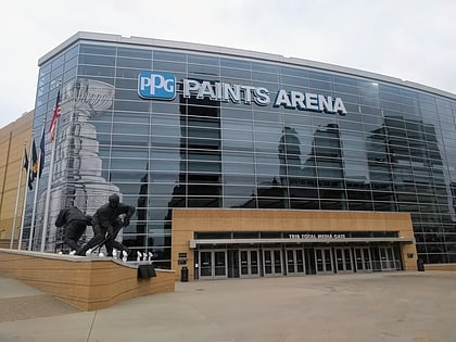
Nearby attractions include: PPG Paints Arena, Highmark Stadium, Warner Centre, Smithfield Street Bridge.
Frequently Asked Questions (FAQ)
Which popular attractions are close to Liberty Bridge?
Nearby attractions include Panhandle Bridge, Pittsburgh (3 min walk), Liberty Tunnel, Pittsburgh (6 min walk), Allegheny County Courthouse, Pittsburgh (8 min walk), Smithfield Street Bridge, Pittsburgh (9 min walk).
How to get to Liberty Bridge by public transport?
The nearest stations to Liberty Bridge:
Light rail
Bus
Train
Light rail
- First Avenue • Lines: Blue, Red, Silver (7 min walk)
- Station Square • Lines: Blue, Red, Silver (8 min walk)
Bus
- Station Square (8 min walk)
- South Busway at Station Square • Lines: 40 (9 min walk)
Train
- Pittsburgh Union Station (24 min walk)


