Girard Avenue Bridge, Philadelphia
Map
Map

Facts and practical information
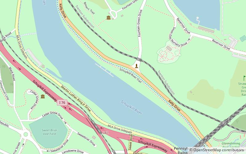
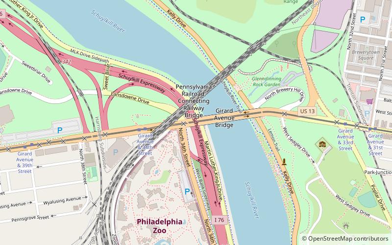
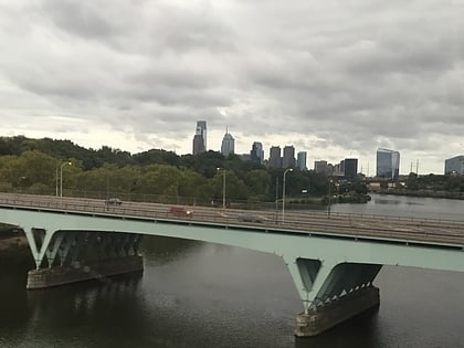
The Girard Avenue Bridge is an automobile and trolley bridge in Philadelphia, Pennsylvania, that carries Girard Avenue over the Schuylkill River. It connects the east and west sections of Fairmount Park, and the Brewerytown neighborhood with the Philadelphia Zoo. The current bridge is the third built on the site. ()
Coordinates: 39°58'31"N, 75°11'40"W
Address
W Girard AveWest Philadelphia (Mantua)Philadelphia 19131
ContactAdd
Social media
Add
Day trips
Girard Avenue Bridge – popular in the area (distance from the attraction)
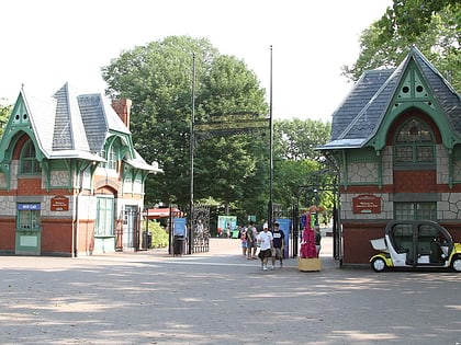
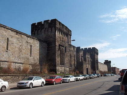
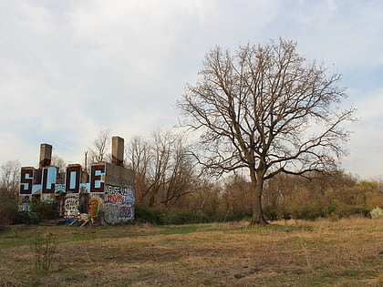
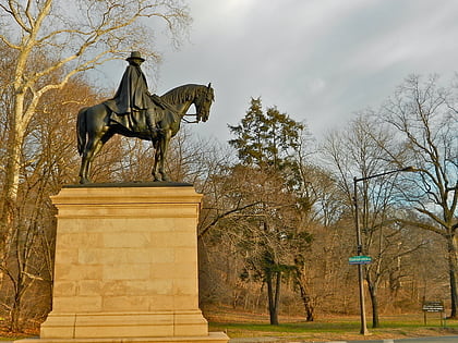
Nearby attractions include: Philadelphia Zoo, Eastern State Penitentiary, Sedgley Woods, James Garfield Memorial.
Frequently Asked Questions (FAQ)
Which popular attractions are close to Girard Avenue Bridge?
Nearby attractions include Pennsylvania Railroad, Philadelphia (3 min walk), Centennial District, Philadelphia (3 min walk), James Garfield Memorial, Philadelphia (6 min walk), Philadelphia Zoo, Philadelphia (7 min walk).
How to get to Girard Avenue Bridge by public transport?
The nearest stations to Girard Avenue Bridge:
Tram
Bus
Metro
Tram
- Girard Avenue & 34th Street • Lines: 15 (4 min walk)
Bus
- SEPTA 33rd & Dauphin Bus Terminal (32 min walk)
Metro
- 46th Street • Lines: Mfl (40 min walk)
 SEPTA Regional Rail