Caesar Mountain, Monongahela National Forest
Map
Facts and practical information
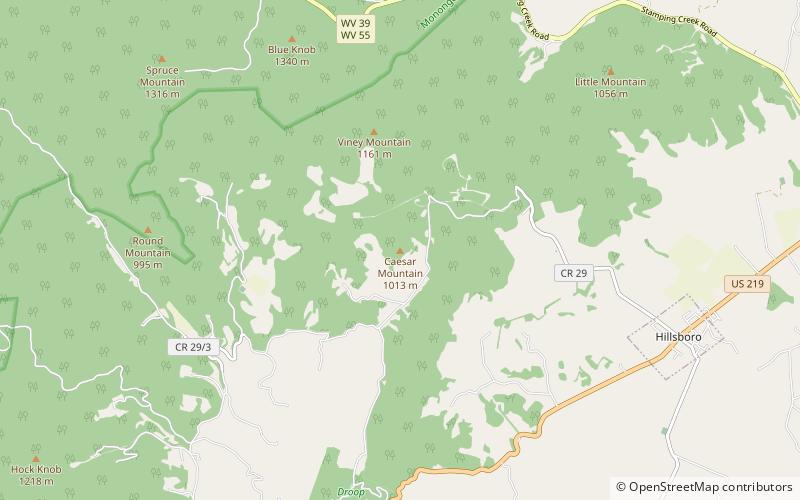
Caesar Mountain is a summit in West Virginia, in the United States. With an elevation of 3,323 feet, Caesar Mountain is the 232nd highest summit in the state of West Virginia. ()
Coordinates: 38°8'50"N, 80°15'39"W
Address
Monongahela National Forest
ContactAdd
Social media
Add
Day trips


