Juanita's, Little Rock
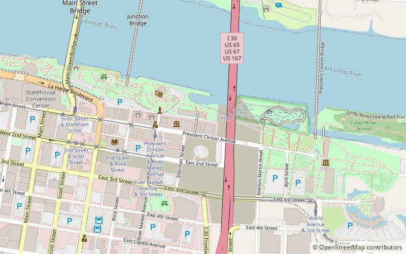
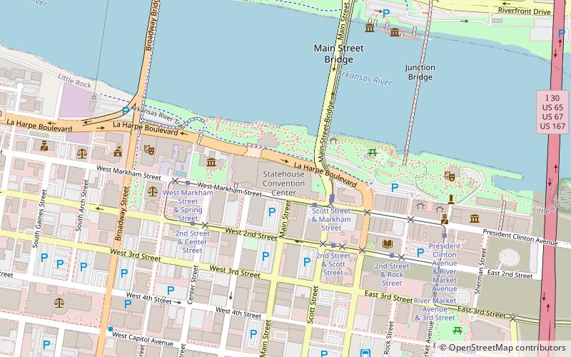
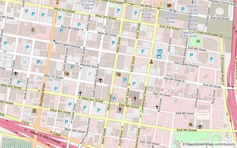
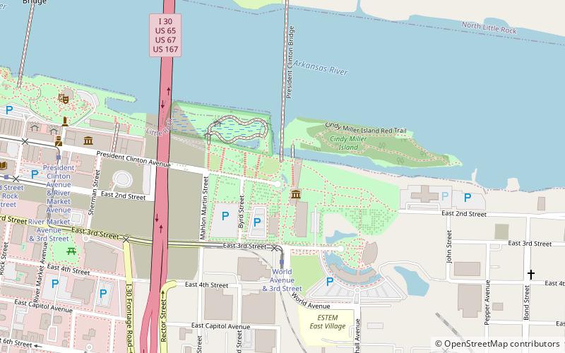
Map
Facts and practical information
Juanita's Cafe and Bar was a well-known venue and restaurant in Little Rock, Arkansas. ()
Coordinates: 34°44'51"N, 92°15'49"W
Getting there by public transportation
Public transportation stops near this location
- Bus
- Tram
 Bus
Bus
- Calculate routePresident Clinton Avenue & River Market Avenue 3 min walk
- Calculate routeRiver Market Avenue & 3rd Street 5 min walk
- Calculate route3rd Street & River Market Avenue 5 min walk
- Calculate route2nd Street & Rock Street 6 min walk
- Calculate routeCentral Arkansas Transit Authority Bus Terminal 9 min walk
- Calculate routeGreyhound.. Little Rock. AR 12 min walk
Day trips


Frequently Asked Questions (FAQ)
Which popular attractions are close to Juanita's?
Nearby attractions include Witt Stephens Jr. Central Arkansas Nature Center, Little Rock (1 min walk), Museum of Discovery, Little Rock (2 min walk), River Market District, Little Rock (4 min walk), Block 35 Cobblestone Alley, Little Rock (6 min walk).
How to get to Juanita's by public transport?
The nearest stations to Juanita's:
Tram
Bus
Tram
- President Clinton Avenue & River Market Avenue • Lines: Blue, Green (3 min walk)
- River Market Avenue & 3rd Street • Lines: Blue, Green (5 min walk)
Bus
- Central Arkansas Transit Authority Bus Terminal (9 min walk)
- Greyhound.. Little Rock. AR (12 min walk)