Norwood Municipal Building, Cincinnati

Gallery (1)
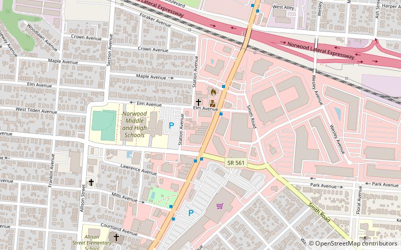
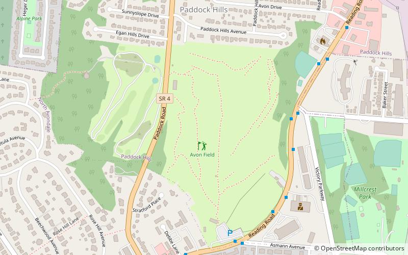
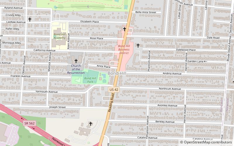
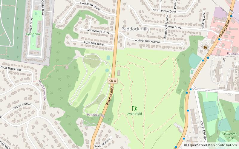
Map
Map
Facts and practical information
Norwood Municipal Building is a registered historic building in Norwood, Ohio, listed in the National Register on March 11, 1980. It was designed by architect, John Scudder Adkins. ()
Built: 1915 (111 years ago)Coordinates: 39°9'41"N, 84°27'23"W
Address
NorwoodCincinnati
ContactAdd
Social media
Add
Getting there by public transportation
Public transportation stops near this location
- Bus
 Bus
Bus
- Calculate routeMontgomery Rd & Elm Ave 2 min walk
Day trips


Frequently Asked Questions (FAQ)
Which popular attractions are close to Norwood Municipal Building?
Nearby attractions include Drake Planetarium and Science Center, Cincinnati (3 min walk), Norwood, Cincinnati (15 min walk), Norwood Mound, Cincinnati (19 min walk).
How to get to Norwood Municipal Building by public transport?
The nearest stations to Norwood Municipal Building:
Bus
Bus
- Montgomery Rd & Elm Ave • Lines: 4 (2 min walk)