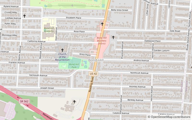
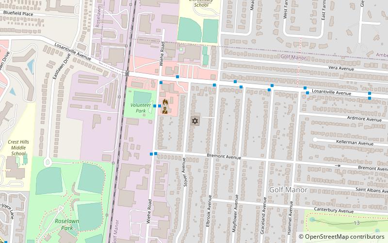
Bond Hill, Cincinnati
Map
Facts and practical information
Bond Hill is a neighborhood of the City of Cincinnati. Founded as a railroad suburb and temperance community in 1870 in northeastern Millcreek Township in Hamilton County, Ohio, it is one of a number of neighborhoods lining the Mill Creek, an urban stream in southwestern Ohio. The population was 6,972 at the 2010 census. ()
Coordinates: 39°10'29"N, 84°28'2"W
Address
Bond HillCincinnati
ContactAdd
Social media
Add
Getting there by public transportation
Public transportation stops near this location
- Bus
 Bus
Bus
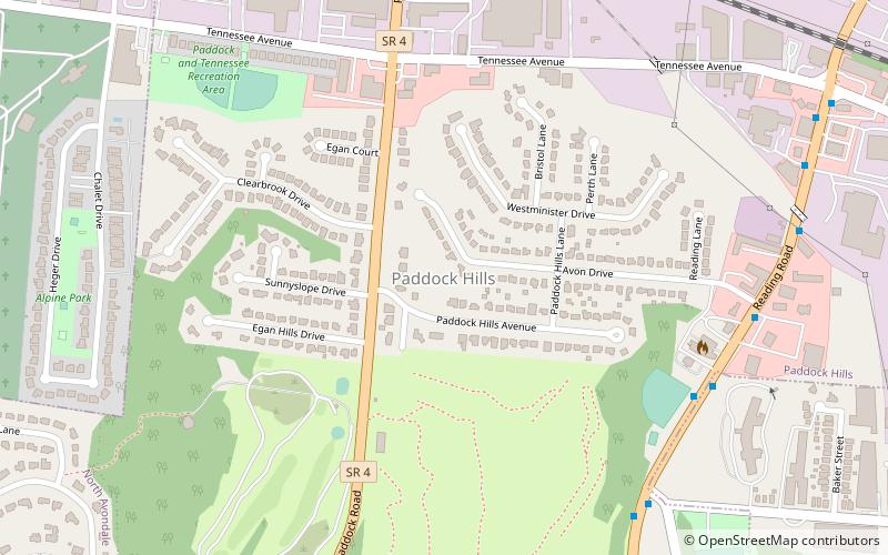
- Calculate routeReading Rd & Tennessee Ave 14 min walk
Day trips


Frequently Asked Questions (FAQ)
Which popular attractions are close to Bond Hill?
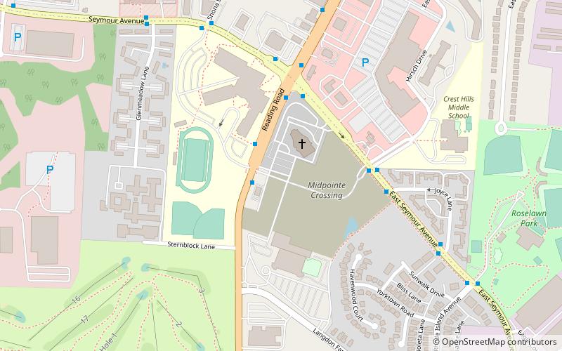
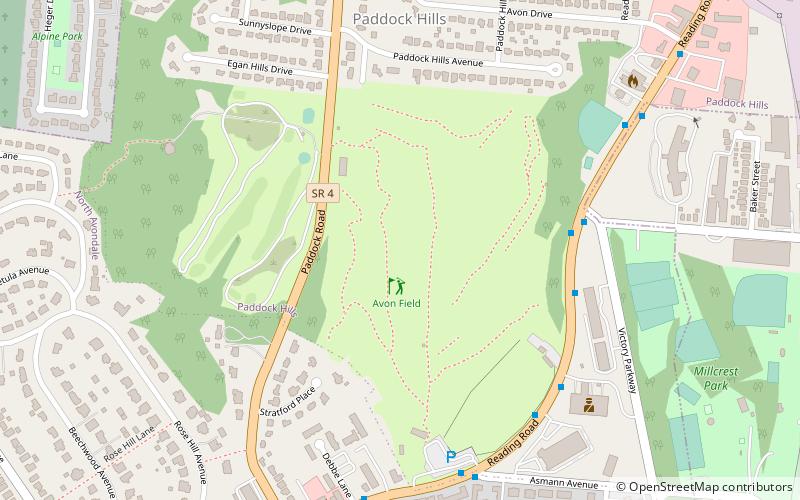
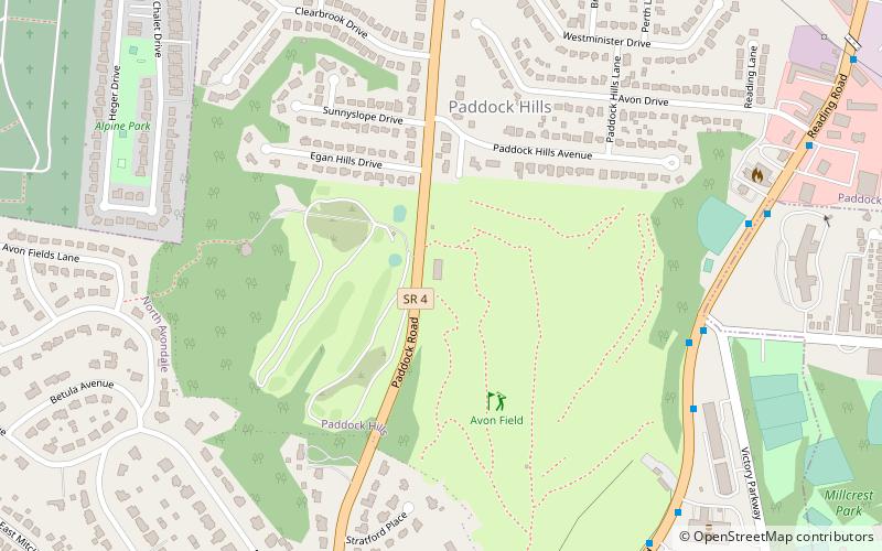
Nearby attractions include Paddock Hills, Cincinnati (23 min walk), Allen Temple AME Church, Cincinnati (24 min walk).
How to get to Bond Hill by public transport?
The nearest stations to Bond Hill:
Bus
Bus
- Reading Rd & Tennessee Ave • Lines: 43 (14 min walk)